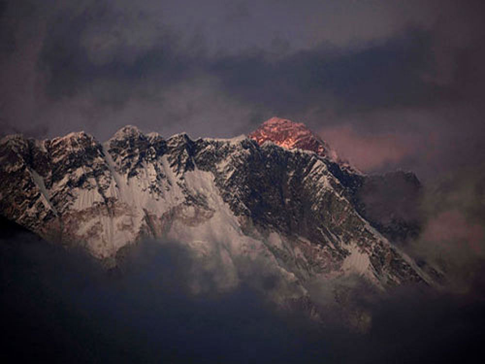
India has officially proposed to Nepal to undertake a joint scientific mission to the Mount Everest to measure the heights of the world’s tallest peak once again.
Two teams from the Survey of India would calculate the heights of Mount Everest using two different methods, which would then be collated to arrive at the actual heights.
“The proposal has gone to Nepal through the diplomatic channel as we are planning for an Indo-Nepal scientific expedition,” union science minister Harsh Vardhan said here.
Calculated first by mathematician Radhanath Sikda, the majestic peak’s height is 29,029 feet (8,848 metre). Though the computation was done in 1852, the official announcement came four years later. The heights were rechecked in 1956.
The new mission has been planned following the 2015 Nepal earthquake that triggered doubts among the scientific community on whether Mt Everest has shrunk or grew taller.
“We are looking at the earliest window at May end-June, if all the paper works are done in time. We will adopt a two pronged strategy for the task,” Swarna Subba Rao, the Surveyor General of India told DH here on the sidelines of a conference to mark the 250th anniversary of the Survey of India.
While one team would be sent to the Himalayas with GPS devices to take satellite data, a second team would undertake the age-old trigonometric survey (triangulation method) from seven sites within India and Nepal. The outcome of the two results would be cross-checked and collated to arrive at the actual figure, he said.
Since GPS data does not provide a reliable elevation with respect to the mean sea level, the Survey of India scientists have also created a mathematical formula, which can come out with accurate mean sea level elevation using the GPS data.
Rao said the Survey of India would train volunteers from its staff for the Everest expedition. The agency has people participating in the mountaineering expeditions.
