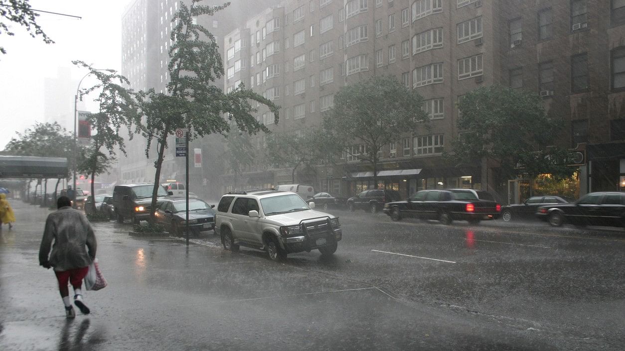
Representative image of rain and storm in New York City.
Credit: iStock Photo
At first, it looked as if New York would simply be grazed by light rain Friday.
David Stark, a meteorologist with the National Oceanic and Atmospheric Administration, said that earlier this week he was tracking what looked to be typical offshore weather. But Wednesday night, a storm, which was supposed to stay south of the city and over the ocean, started to edge north, he said. And that changed everything.
The storm ended up joining forces with another low-pressure weather system coming in from the west. “Where they converged is where the heavy rain occurred,” he said. That just happened to be right over New York City. And “that is the nature of science sometimes,” he added.
It has been raining a lot in New York, which hasn’t seen a September this wet in over a century. Climate change is very likely stoking more ominous and lengthy downpours because as the atmosphere heats up, it can hold more moisture, said Andrew Kruczkiewicz, a senior researcher who specializes in flash floods at Columbia Climate School at Columbia University.
This simple fact is the most probable explanation for why the Northeast has been so soggy, said Greg Carbin, chief of forecast operations at the National Weather Service’s Weather Prediction Center. “Low-pressure systems like nor’easters now have greater amounts of water vapor available to them,” he said. “And with a warmer Atlantic Ocean combining with warmer air, the atmosphere is primed to produce more rainfall.”
But Friday’s weather was not your typically fierce coastal nor’easter or tropical storm, Carbin said. It was a result of “smaller-scale features, like bands of heavy rainfall and scattered thunderstorms,” he said.
These modest features are more “difficult to predict with any significant lead time,” he added. By Thursday, however, these smaller pieces had persuaded the National Weather Service to issue a flood watch, and, by early Friday morning, stronger warnings.
Every storm is unique, he said. And although patterns within the atmosphere can look similar, “they are like human fingerprints; no two are alike.” The system that soaked New York City last weekend, for example, though unpleasant, didn’t produce flooding, and that was because of rainfall intensity, Carbin said.
“You can have a rainy day where you get less than a tenth of an inch per hour, but today’s rainfall was more than 10 times that amount,” he said.
And in a paved-over city with absorption problems, that makes all the difference.
Fall in the Northeast, when hurricane remnants and nor’easters increasingly come through, is prone to continuous, heavy rainfall, said Upmanu Lall, an engineering professor and the director of the Columbia Water Center at Columbia University. “If we just had a cloudburst during the summer, nothing much happens, because it’s possible to drain out,” he said.
But with climate change, sustained rainfall is now happening in the summer as well, if the recent downpours in July and subsequent catastrophic flooding that struck parts of Vermont and the Hudson Valley are any example.
And just as no two storms are alike, flooding also can vary, depending on whether it comes from the coast or the sky, Kruczkiewicz said.
“In New York City, when we think of coastal flooding, there are areas we know that are high risk,” he said. “But flash flooding has nothing to do with tides,” he said. “It’s coming from the sky, and it’s driven by intense precipitation,” so flash floods can pop up anywhere there is poor drainage infrastructure.
“The water from flash floods tends to rise faster than any kind of flood,” Kruczkiewicz said. And when you add ailing infrastructure or poor drainage into the mix, he added, all bets are off.