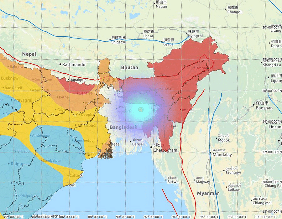
4.3 magnitude earthquake hits India-Bangladesh border, 82 km Southwest of Cherrapunjee
Last Updated IST

Map of epicenter of the earthquake.(Credit: seismo.gov.in)
A moderate intensity earthquake, measuring 4.3 on the Richter scale, rocked the India- Bangladesh border on Wednesday morning but there were no reports of any damage, officials said.
The earthquake took place around 7.10 am and its epicenter was located at a depth of 55 km and a place 82 km southeast of Sohra, officials at the Regional Seismological Centre here said.
The tremor was felt by people across Meghalaya but there was no immediate report of any damage, a senior police officer told PTI.