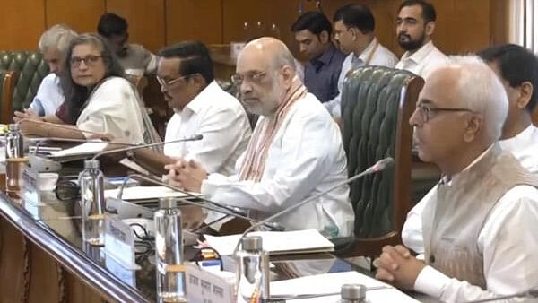
Union Home Minister Amit Shah chairs a high level meeting to review preparedness to deal with floods that affect various parts of the country during the monsoon, in New Delhi, Sunday, June 23, 2024. Union Minister of Jal Shakti C R Paatil and Home Secretary Ajay Kumar Bhalla are also seen.
Credit: PTI Photo
New Delhi: Union Home Minister Amit Shah on Sunday instructed disaster management officials to upgrade the forecast system of water level of rivers and ensure optimum use of satellite imagery provided by the Indian Space Research Organization (ISRO) for better flood management.
His remarks came at a high-level meeting called to review the preparedness of flood management in the country. He also reviewed long-term measures to formulate a comprehensive and far-reaching policy to mitigate the menace of floods in the country. He also reviewed the preparations to deal with Glacial Lake Outburst Flood (GLOF).
At the meeting, he also instructed officials to take appropriate precautionary measures to prevent incidents of forest fire, including creating fire lines and removing dry leaves.
Appealing to the states to timely implement the advisories issued by NDMA for flood management, he directed the India Meteorological Department (IMD) and the Central Water Commission (CWC) to complete the process of recalibrating all the equipment used in flood forecast, at the earliest.
There is a need to integrate weather, rainfall and flood warning related apps developed by various departments so that their benefits could reach the targeted population, he said.
Natural drainage system should be an integral part of the designs of road construction to deal with inundation of roads, in case of floods, he said. He also asked officials to ensure that floodgates of all the major dams are in good condition and that the flood monitoring centres of the CWC should be in accordance with requirements and of international standards.
At least 50 large ponds in the north-east should be constructed so that the water of the Brahmaputra River could be diverted and stored in those ponds, he said adding this will help in developing agriculture, irrigation and tourism in those areas at a low cost and also help in tackling the floods, and, it will eventually benefit the local economy.
To tackle forest fires, he said there is a need to regularly create fire lines, remove dry leaves and conduct mock drills from time to time with local residents and forest personnel. Along with this, he also asked to analyse the incidents of repeated forest fires at the same place.
He also said that the IMD’s alerts regarding lightning strikes should be disseminated to the public on time through SMS, TV, FM radio and other mediums.
