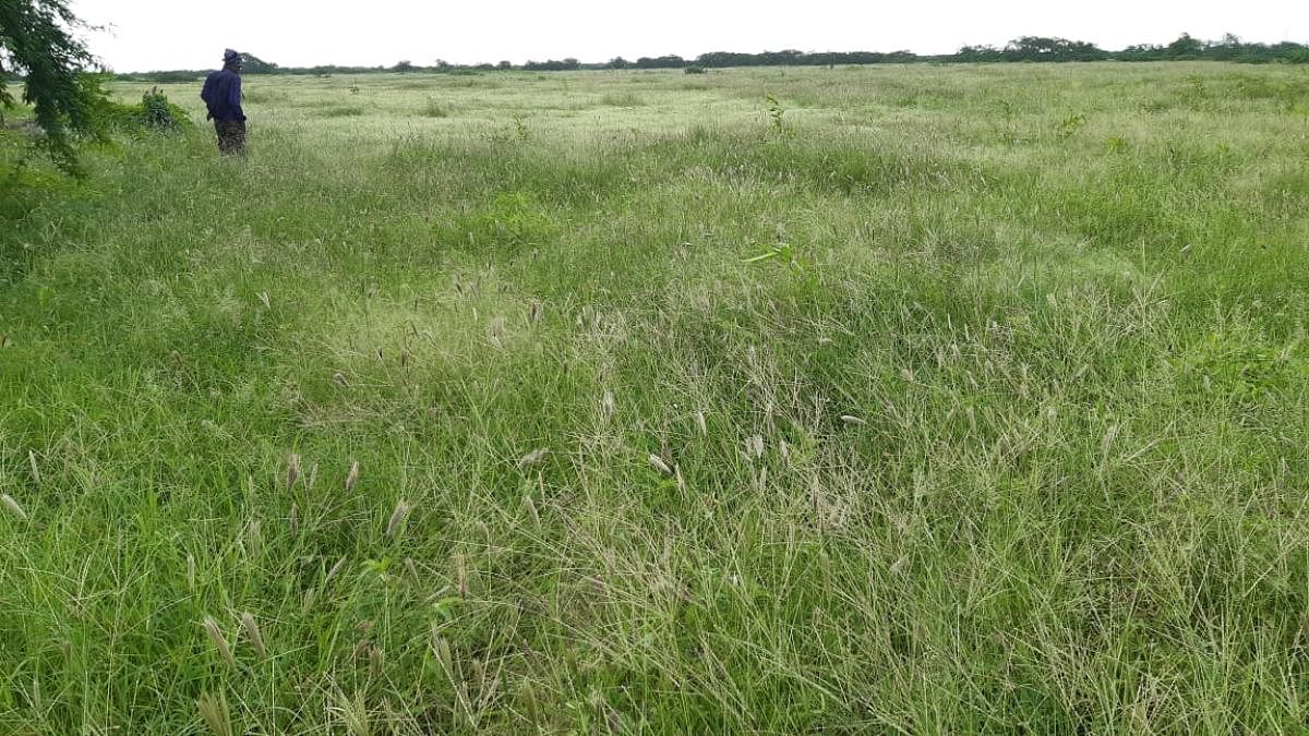
Banni grassland in Gujarat's Kutch district, considered to be Asia's largest and finest, has finally been demarcated on land in a joint exercise taken out by district administration and forest department recently. The demarcation would help in identifying protected and non-protected areas. This is also going to help save the grassland from the constant threat of encroachment and non-forest activities that have been reported from the region.
"We have completed the demarcation and a report in this regard has been submitted before the National Green Tribunal (NGT) which had ordered for this demarcation," said Kutch collector M Nagarajan. He said that the demarcation will help in identifying areas falling under revenue or forest land and pillars have been erected for the identification.
Forest officials in an affidavit have submitted before the NGT, stating that "process of a survey of the boundary in the area comprised as/under the 'protected forest of 'Banni Grassland', has been carried out, completed and earmarked."
This is the first time since Independence that this grassland has been demarcated. It will define the boundary of protected forest, roads, villages among others. However, this doesn't mean that the locals would get ownership of the land in the area. What rights the locals would get over the land is still not defined.
Nearly 2,500-sqkm grassland falls under protected forest. The place is largely inhabited by Sindhi-speaking Muslims who are locally called maldharis or cattle breeders. They are known for their buffaloes which are famous for high yield milk. At present, there are over 40,000 maldharis who own nearly 1.5 lakh cattle. They live in 40 villages governed through 19 panchayats. However, these villages and panchayats have been established without demarcating their boundaries.
Last year, Banni Pashu Uchherak Maldhari Sanghathan (Banni Breeder Association) had approached NGT following denial of community forest rights to members maldhari community under Schedule Tribes and Other Traditional Forest Dwellers (Recognition of Forest Rights) Act, 2006. Subsequently, the tribunal ordered the state government to demarcate the land.
In its order, the NGT had stated, "Our attention has been drawn to the notification issued on May 11, 1955, by the Chief Commissioner, Government of Kachchh, in exercise of power under Section 29 of Indian Forest Act, 1927. But neither the exact boundary nor the total area was clarified therein. Subsequently, a working plan of Banni Protected Forest was issued in 2009 by the Forest Department, Government of Gujarat, which had also been approved by MoEF & CC."
The order stated: "In the said plan it has been mentioned that the forest area of Banni was surveyed through GPS from 13.12.2005 to 03.03.2006 by the Settlement Commissioner & Land Record Director, Gujarat State, for demarcation of the boundary. The total area came out to be 249,674.45 ha i.e. 2497 km2. In view of the fact that the demarcation of the area is yet to be made, the grievance of the applicant with regard to non-forest activities/encroachments can be properly appreciated when the area in question is demarcated on the ground. Therefore, before proceeding further, we direct respondent State to demarcate the boundaries of the Banni Grass Land, on priority and the work be completed at the earliest."
The grassland is said to have been invaded by a shrub called "Gando Baval" or crazy weed. This weed and a long spell of drought are believed to have wiped out 40 species of grass in last four to five decades.