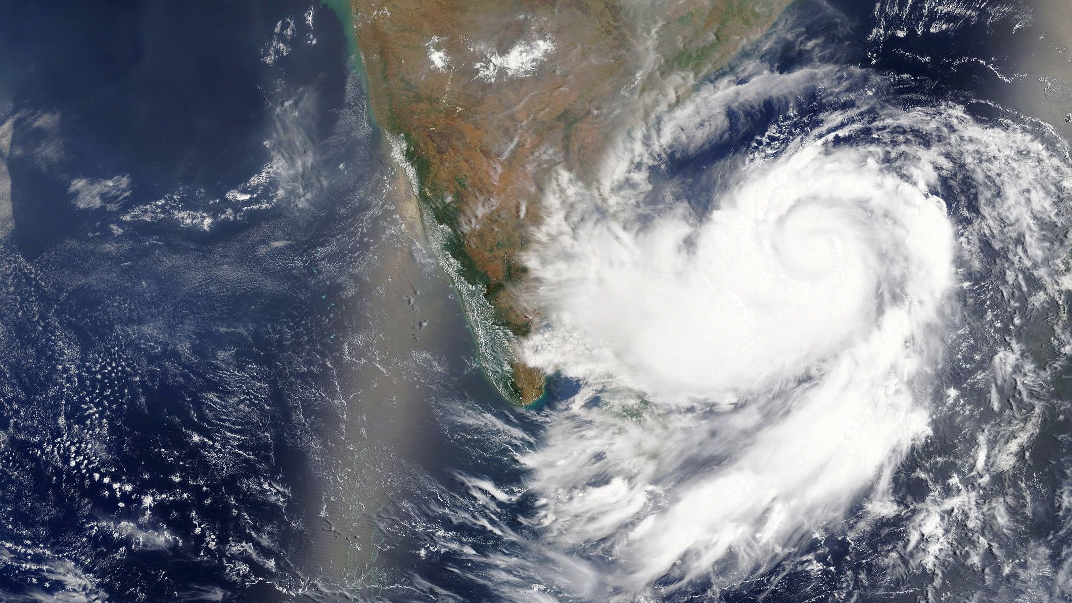
Representative image showing a cyclone forming in the Bay of Bengal.
Credit: iStock Photo
Satellite imagery showing the development and trajectory of Cyclone Remal over the past 24 hours
(Credit: Screen recording/Zoom Earth)
Storm developing in Bay of Bengal, likely to reach near Bengal coast on Sunday as severe cyclone
A cyclonic storm developing in the Bay of Bengal is likely to reach near the coasts of West Bengal and adjoining Bangladesh on May 26 as a severe cyclone, the Met department said on Thursday.
In its wake, light to moderate rain in many areas with heavy rain at isolated places is likely to occur in West Bengal's coastal districts of North 24 Parganas, South 24 Parganas and Purba Medinipur.
A simulation showing Cyclone Remal's trajectory
Latest visuals showing the developing storm in the Bay of Bengal
Credit: IMD
Depression over Bay of Bengal moving northwards, likely to develop into cyclone by Saturday morning
Low pressure area has intensified into depression, IMD confirms; likely to intensify further into a cyclone by Saturday morning
Wind speeds to hit 120 kmph, with gusts of 130 kmph on Sunday, says IMD forecast
IMD forecast for Cyclone Remal
Credit: IMD
Don't venture out to sea—IMD issues warning for fishermen in Bay of Bengal
"Fishermen are advised not to venture into south Bay of Bengal and Andaman Sea till 24th May, central Bay of Bengal till 26th May and North Bay of Bengal from 25th May till 27th May. Fishermen out at sea are advised to return to the coast," said the IMD's National Bulletin issued on May 24.
Credit: X/@Indiametdept
Orange rainfall alerts issued for parts of Bengal, Northeast for May 26-28
Alert for May 25.
Credit: IMD
Alert for May 26.
Credit: IMD
Alert for May 27.
Credit: IMD
Alert for May 28.
Credit: IMD
Depression, expected to become a cyclone, inches towards Bengal
As per the IMD, the depression, which is expected to become a severe cyclonic storm (and be named Remal as per conventions), was just 730 km south southwest of Khepupara and 750 km south of Canning in Bengal, as of Friday afternoon.
It is expected to intensify into a cyclone on the morning of Saturday, May 25.
Details about heavy rain warning across Bengal, Northeast, and coastal Odisha
Credit: IMD
Details about wind warnings stemming from Cyclone Remal
Credit: IMD
Rough sea conditions expected because of Cyclone Remal—details below
Credit: IMD
Major damage to thatched huts, uprooting of trees, and power disruptions expected in Bengal
Depression to intensify into a cyclonic storm by Saturday morning
Extremely heavy rainfall in coastal districts of West Bengal & north Odisha on May 26-27: MeT
The Met office has warned of extremely heavy rainfall in the coastal districts of West Bengal and north Odisha on May 26-27. Extremely heavy precipitation may hit parts of northeast India on May 27-28.
Storm surge of up to 1.5 metre is expected to inundate low-lying areas of coastal West Bengal and Bangladesh at the time of landfall.
Fisherfolk out at sea have been advised to return to the coast and not venture into the Bay of Bengal until May 27.
The IMD warned of localised flooding and major damage to vulnerable structures, power and communication lines, kutcha roads, crops and orchards in South and North 24 Parganas districts of West Bengal.
People in the affected areas have been asked to remain indoors and vacate vulnerable structures.
-With PTI Inputs