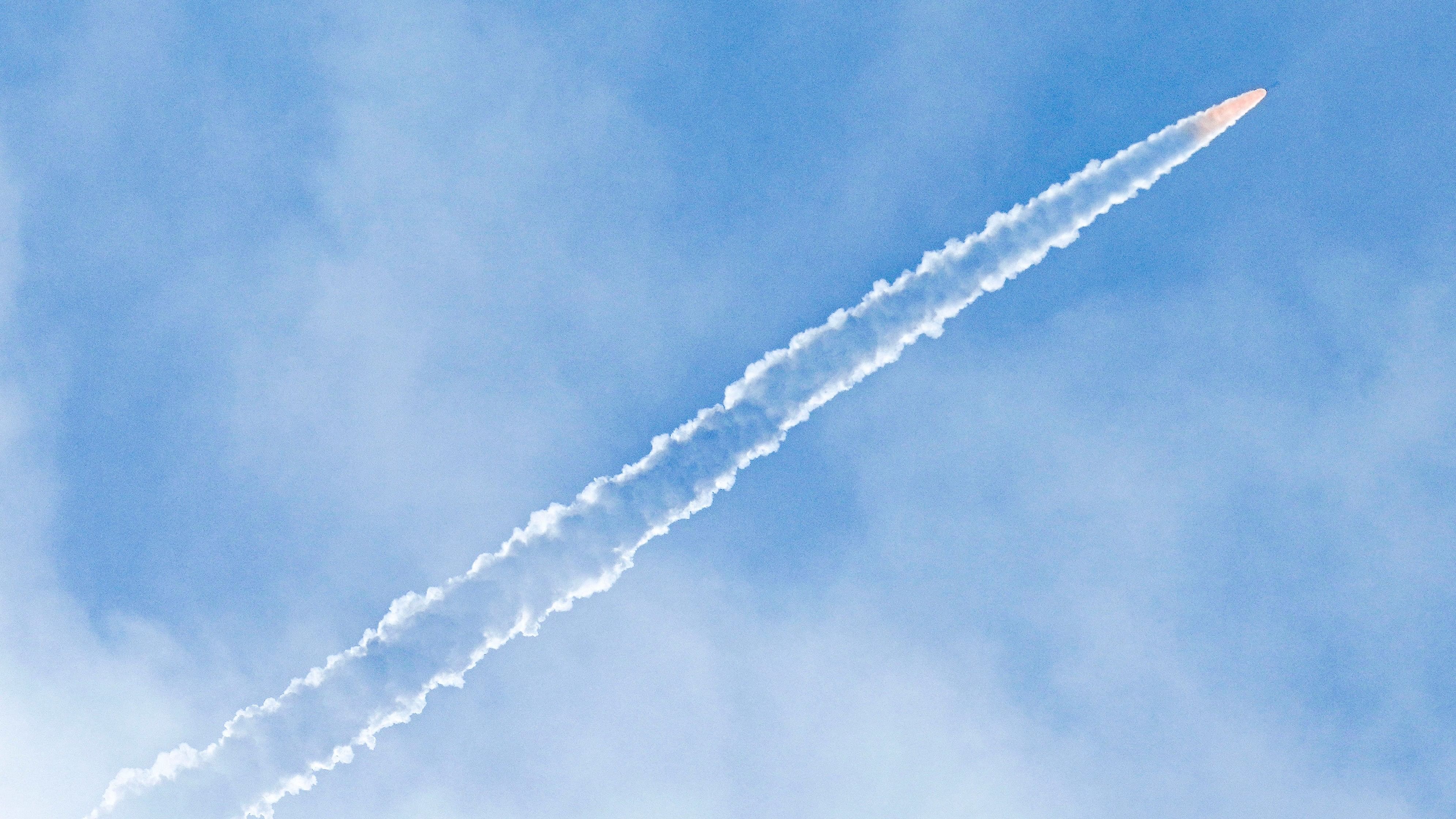
ISRO's Small Satellite Launch Vehicle-03 (SSLV-D3) carrying Earth Observation Satellite (EOS-08) leaves a trail of smoke after it lifted off from the Satish Dhawan Space Centre, in Sriharikota, Andra Pradesh, Friday, Aug 16, 2024.
Credit: PTI Photo
Bengaluru: A remote-sensing instrument on the Indian Space Research Organisation (ISRO)’s latest earth observation satellite started operations on August 18, the space agency confirmed on Wednesday.
Raw data from the GNSS-Reflectometry (GNSS-R) instrument on the EOS-08 satellite is being processed at the National Remote Sensing Centre (NRSC-ISRO) in Hyderabad, using algorithms and data processing software developed by the Space Applications Centre (SAC-ISRO), Ahmedabad. ISRO said “multiple levels of data products” have been successfully generated.
GNSS-R employs an innovative remote sensing model; it requires minimal size, weight, and power, and can be scaled for faster coverage. Signals from Global and Regional Navigation Satellite Systems (GNSS/RNSS), such as GPS and NavIC, are reflected off earth surfaces including oceans, agricultural lands, and river bodies. The SAC-developed GNSS-R – India’s first space-borne precision receiver – collects these signals as EOS-08 orbits the Earth at an altitude of 475 km.
The instrument measures the power and other characteristics of these ground-reflected signals to derive scientific information about the regions, including soil moisture, surface inundation, ocean surface wind, and wave measurements. It is capable of providing a resolution of 15 km x 15 km over oceans and better than 1 km x 1 km over land.
“While calibration and validation are ongoing, these results demonstrate the immense potential of this instrument for various scientific studies and applications,” ISRO said.
The first land data, on soil moisture, was collected over the Sahara Desert in North Africa at 1-km resolution. Another high-resolution land dataset was acquired over the Amazon Rainforest, on August 21. The instrument collected the first ocean data on August 19, over a region of the Pacific Ocean. It was processed for the retrieval of wind speed and wave heights. All obtained values fell within the expected ranges, ISRO said.
EOS-08was launched from the Satish Dhawan Space Centre in Sriharikota on August 16. The launch also marked the third and final developmental flight of ISRO’s Small Satellite Launch Vehicle.