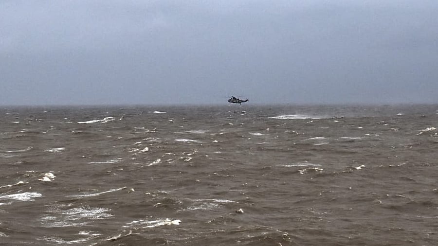
The Indian Meteorological Department (IMD) has had a hectic month so far as the country's top weather body continues to issue warnings and predict trajectories of two cyclones on both sides of the Indian peninsula. While cyclone Tauktae rammed into the west coast, the incipient cyclone Yaas is likely to strike the east coast on Wednesday.
Yaas is likely to swirl up into a “very severe cyclone” over the Bay of Bengal, according to the IMD’s latest estimates. Tauktae, on the other hand, was a rung higher, being the first “extremely severe cyclone” to hit the Gujarat coast in 23 years. Last year’s Amphan was at the top of the stepladder, categorised as a “super cyclone”.
The Met department has devised this hierarchy for cyclonic storms as part of its early warning system for tropical cyclones with the express purpose of curbing loss of life and property due to these violent weather events. It uses a network of satellites, radars, weather prediction models and communication technology to forewarn people, the government, disaster management and the media.
The core criterion for labelling a cyclonic formation as one of eight categories of cyclonic storms, in order of increasing severity, is the maximum wind speed within the cyclonic system. Windspeed is usually a function of the difference in pressure between the low-pressure eye and the areas outside it.
The various categories of cyclones are as follows, depending on their maximum sustained wind speed:
1. Low-pressure area: Windspeed does not exceed 31 km per hour
2. Depression: Windspeed between 31-49 km per hour
3. Deep depression: 50-61 km per hour
4. Cyclonic storm: 62-88 km per hour
5. Severe cyclonic storm: 89-117 km per hour
6. Very severe cyclonic storm: 118-167 km per hour
7. Extremely severe cyclonic storm: 168-221 km per hour
8. Super cyclonic storm: 222 km per hour and higher
