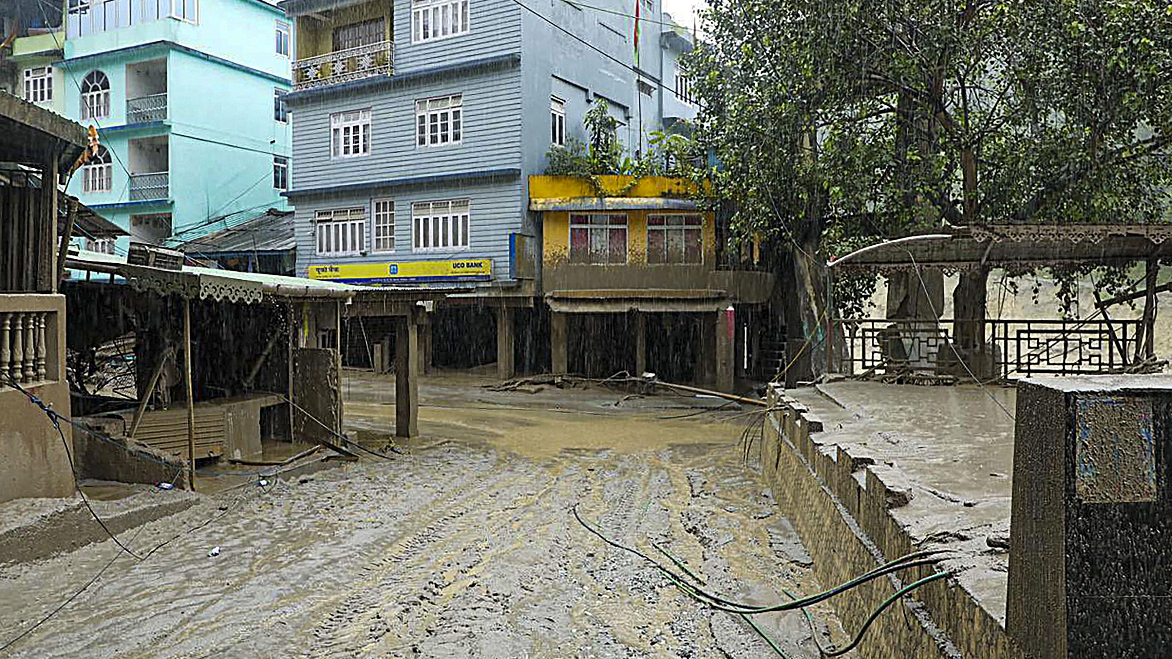
A flood-affected locality at Singtam in Gangtok district, Sikkim. A sudden cloud burst over Lhonak Lake in North Sikkim on Wednesday has resulted in a flash flood in the Teesta River in Lachen valley, which was compounded by the release of water from a dam.
credit: PTI Photo
The National Remote Sensing Centre, one of the ISRO centres, has conducted a satellite-based study on the outburst of the South Lhonak lake in Sikkim by obtaining temporal satellite images (before & after) over the water body.
"It is observed that Lake is Burst and about 105 hectares area has been drained out (28 September 2023 image versus 04 October 2023) which might have created a flash flood downstream," an ISRO statement said on Wednesday.
The space agency said it will continue monitoring the lake further using the satellite data.
At least eight people died and 69 others, including 22 army personnel, went missing today after a cloudburst over Lhonak Lake triggered a flash flood in the Teesta River basin, officials said.