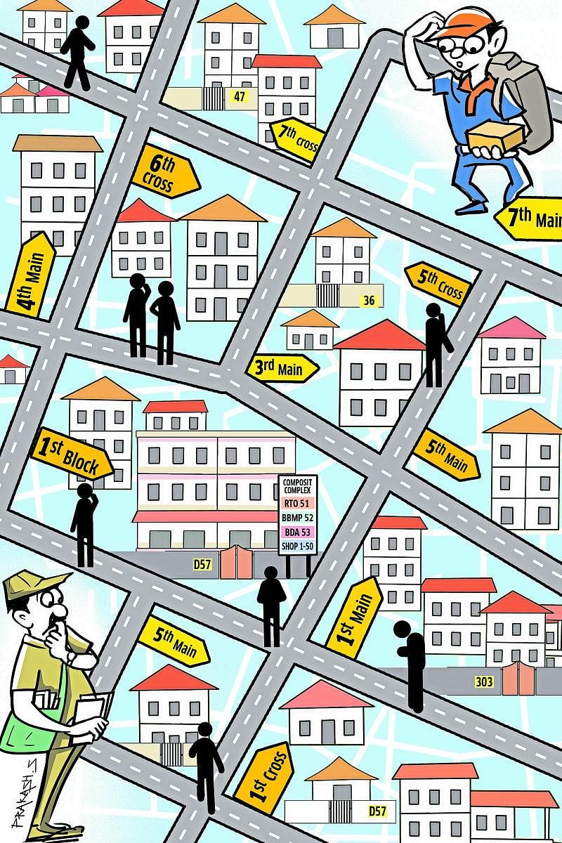
Deep inside the city’s insanely chaotic world of random street and house numbering, order is an alien world. Address-hunting is a curse, as thousands of non-locals roam around without a clue. Does this sit pretty on a city wearing the hi-tech tag with much pride?
By its very character, the city’s bizarre, unchecked sprawl follows no numbering rulebook. Street signboards, even if they exist, are random, illegible and masked by posters. Caught in a maze of old, new and no numbers, newcomers to a locality identify a house or a street by sheer luck.
Decades ago, navigating a developed layout was a breeze. One look at a neat, colour-coded map displayed right at the layout entrance, and you would know where to go. Neatly laid out, houses followed a pattern. So did the mains and cross roads.
This model had everything in it for a citywide emulation. But today such navigation aids have disappeared, even from the old layouts. Broken concrete slabs with faded street name and numbers are everywhere. As street crowds and vehicles have spiked, the address search has only turned worse.
Can technology save Bengalureans this perennial trouble? In March, 2018, the Bruhath Bengaluru Mahanagara Palike (BBMP) had launched DiGi7, a digital door numbering system that held this promise: Every residential and commercial property in the city identified with a seven-digit number.
The system was meant to replace the long, traditional address that mandates house, street and locality names. The seven-character alphanumeric ID would help locate a property on a Google Map. Accuracy would be higher as the address code would have latitudinal and longitudinal coordinates.
Seventeen months later, hardly anyone is aware of this system. Only a fraction of the city’s estimated 19 lakh property owners know about it. But BBMP sticks to its claim: Beyond easing address location woes, it says the ID can also help track tax evaders.
Accessible through a mobile app ‘BBMP DiGi7’ on both Android and Apple phones, the system looks simple on paper. But users have given it a low rating of 2.4, citing inaccuracies galore. Says one of them, Shekhar H N, “Even if we search by selecting the location option, it’s not going to the specified GPS / Google coordinates. There is no house / site number mentioned.”
Another user, Selvaraj S notes that the location identified on the App is 900 metres from the actual place. “Not accurate,” he rules. “Google Map correctly pinpoints location, but BBMP’s pointer doesn’t synchronise. So it is confusing to accept the identity allotted to its correctness,” goes a third user.
For the tech-savvy, the mobile App ecosystem does offer other multiple third-party applications to pinpoint location. Google Maps, for instance, lets you to mark any point anywhere on the map and give it a customized name or code. If made publicly accessible, the code / name can guide anyone to your house or a commercial property.
Uber and Ola cab aggregators have long perfected passenger pickup and drop through a seamless GPS-map based interface. Yet, the cab users and ‘tech-savvy’ smartphone users only constitute a minority, as a majority of citizens still depend on house numbers, street names and other visual clues for final confirmation.
“For ordinary people to understand, the house number, street number, etc should be clearly visible, in black and white,” notes veteran civic activist, N S Mukunda from the Citizens Action Forum. “The simplest thing to do would be to place boards on either ends of a street with house numbers on them,” he suggests.
Having lived in Bengaluru for decades, Mukunda knows the troubles of address-hunting. “In densely populated areas with narrow and winding streets, it gets extremely tough to locate a particular house. Perhaps the local corporators can take the initiative to sort out the problem, taking citizens on board.”
Indeed, a few corporators have taken the lead in some areas, erecting elevated street number and name-boards. But these are yet to be replicated elsewhere as a standard. Result: Citizens, postmen, courier delivery personnel and others waste a humungous amount of time and effort hunting down addresses.
This absolute lack of location clarity could also get dangerous. Emergency response teams, fire force personnel and ambulances end up wasting precious time searching for the origin of a distress call. Loss of time, even a few minutes, could prove fatal here.
The onus of proper, calibrated house and street number rests with the BBMP revenue department, the Bangalore Development Authority and multiple governance stake-holders.
When the erstwhile Bangalore Mahanagara Palike (BMP) morphed into a bigger, grander BBMP in 2007, lakhs of properties in seven City Municipal Councils (CMCs), one Town Municipal Council (TMC) and 110 villages were also included.
These new properties in the BBMP fold had old numbers. Houses in layouts developed by BDA had old numbers. Streets too had old names. Over the years, everything has changed, posing a huge challenge to citizens, postmen, courier agents.
Going around in circles, courier services to have had their packages routed and rerouted. Lost in the process are also critical printed documents and goods sent through India Post. With localities getting denser by the year, the address-hunting could only get more chaotic. Unless technology intervenes with a simpler interface.
