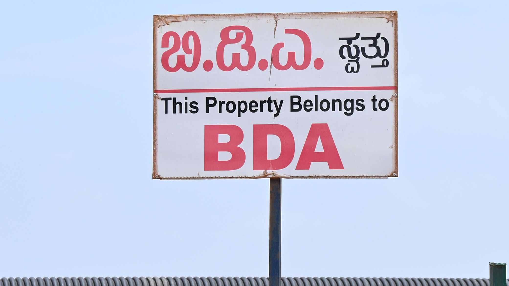
Bangalore Development Authority (BDA)
Credit: DH Photo
Bengaluru: The Bangalore Development Authority (BDA) has restarted the process to prepare the revised master plan, crucial to regulate development activities in the city’s outskirts.
The nearly complete vision document did not get the nod due to the change of government in the state.
Last week, the BDA issued tenders to hire a private agency for conducting a drone survey (3D model). This survey, covering 440 square kilometers within the BDA limits, will be used to create a base map for the development of a long-pending master plan for Bengaluru, with a horizon period extending to 2041.
BDA’s town planning member L Shashikumar said the drone survey will be completed in about four months. “Subsequently, we will float tenders for the preparation of the master plan,” he said.
The BDA had initially planned to utilise the services of the Karnataka State Remote Sensing Application Center (KSRSAC), which quoted Rs 13 crore for preparing the drone survey, base map, and land use survey. However, the Finance Department rejected the BDA’s request to award the project to the center without issuing tenders.
Eventually, the BDA floated tenders for the preparation of a master plan, which included drone surveys.
A New Delhi-based firm won the bids, but the BDA seems to have decided to discard those bids, as it has now issued fresh tenders by splitting the scope of work.
BDA sources told DH that the KSRSAC has been engaged to prepare a base map of the BBMP limits by studying the drone images prepared by the Department of Survey and Land Records.
A town planning expert wondered at the pace at which the BDA is moving for the preparation of a master plan, which is supposed to be a guiding document for driving growth.
"We have been following the master plan that expired in 2015. By now, we should have had a new master plan ready. The delay will only result in haphazard development and the problems that Bengaluru is facing now will remain,” said the expert.