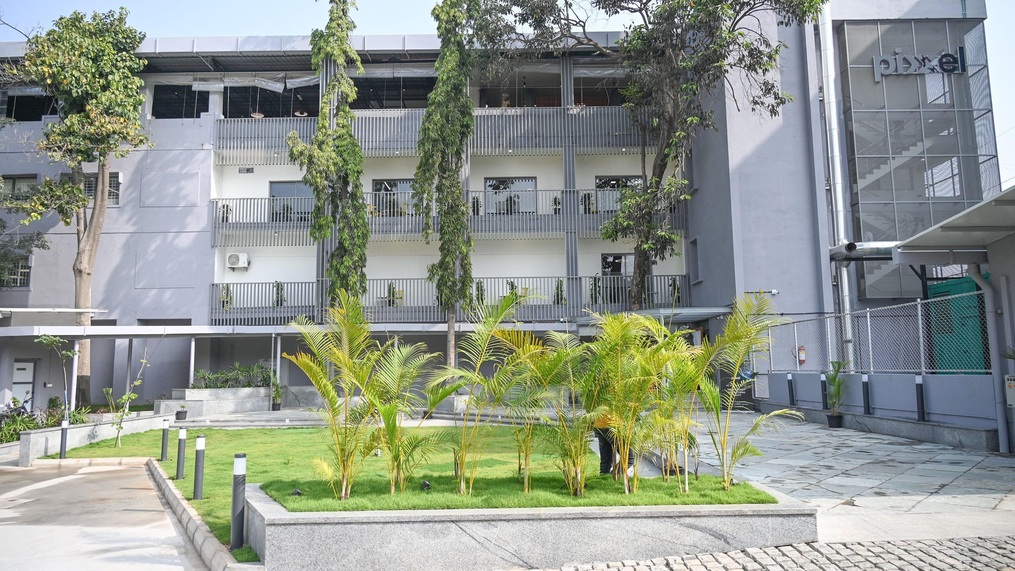
The headquarters of Pixxel Space India Pvt Ltd at HBR layout in Bengaluru
Credit: DH Photo
Bengaluru: Space data company Pixxel on Tuesday announced the launch of Aurora, an Earth Observation (EO) studio developed in-house by the company.
Pixxel, which works with hyperspectral earth imaging technology, is pitching Aurora as a platform that offers an intuitive analysis of satellite imagery. Aurora can redefine how remote sensing user groups access, interpret, and leverage EO data, the Bengaluru-based company said.
The platform comes with an archive of open-source and commercial remote sensing datasets and is expected to integrate with Pixxel’s hyperspectral imagery by the end of 2024. With its ready-to-use models, Aurora enables users to visualise and compare different satellite imageries, customise workflows, and implement analytical models.
Aurora features indices that include Normalised Difference Vegetation Index for assessing vegetation health, Normalised Difference Water Index for estimating water surface area and monitoring flood impacts, and Oil Spill Index for detecting and monitoring oil spills on water surfaces. It has potential applications in monitoring forest health and carbon stocks, precision agriculture, and tracking land use changes.
Tuesday’s announcement follows beta testing and compilation of customer feedback for almost a year, Awais Ahmed, founder and CEO, Pixxel, said.
Ahmed said the focus was on creating a platform that allowed users to get insights faster without wasting time figuring out complex data processing steps. Aurora will enable organisations of all sizes in agriculture, forestry, mining, climate tech, and energy to leverage EO data that can be tailored for specific needs, he said.
Pixxel plans to enhance Aurora’s capabilities with updates that allow users to combine hyperspectral data with other EO datasets, offering a more comprehensive analysis. The company is preparing to launch six commercial-grade hyperspectral satellites, known as Fireflies, this year.