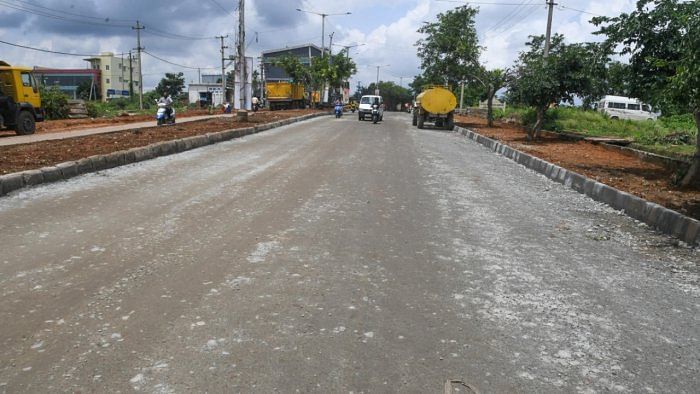
With the state government giving an existing network of roads the name of Intermediate Ring Road, a huge number of properties have suddenly become vulnerable to acquisition.
The width of the Intermediate Ring Road is mandated as 90 metres, which means several thousand buildings along its 210 km alignment could be up for demolition.
On March 16, the government issued a notification, just before the election code of conduct came into force, clubbing an existing network of roads and calling them the Intermediate Ring Road (IRR).
In the process, it dropped its earlier plan of building a circular Intermediate Ring Road, as notified in 2007.
The notification puts an end to any new development within a 90-metre range of the 210-km network, which partly passes through Bengaluru Development Authority (BDA) limits. The network encircles Bengaluru’s suburbs, covering parts of Bidadi, Anekal, Varthur, Whitefield, Nelamangala and Begur.
Even though a large part of the stretch is thickly developed, especially between Chandapura and Budigere Cross, the notification empowers the authorities to get the owners to relinquish their land, and for free.
The government’s decision to drop the Intermediate Ring Road (IRR) project, as proposed earlier, will immediately benefit people owning properties along its alignment, as their land will no longer be acquired.
Land value along this stretch is expected to shoot up as property owners can now convert their agricultural lands for residential and commercial use.
The recent notification has in effect ‘denotified’ over 4,100 acres of land, whose value is close to Rs 15,000 crore, but it isn’t using the term ‘denotification’. The notification was not preceded by any public consultation even though it has far-reaching implications for lakhs of citizens.
The notification is wrong on three counts, experts say.
The 90-metre rule retrospectively makes a huge number of properties illegal, though they have already come up along the 210-km network on the basis of master plans drawn up by different government agencies.
Secondly, the government has not consulted the Bengaluru Metropolitan Land Transport Authority (BMLTA) or BDA, although a part of the IRR’s new alignment is under their oversight. Thirdly, the IRR and the Peripheral Ring Road run parallel to each other between Chandapura and Budigere Cross, making one of them superfluous.
Speaking to DH, a senior official of the urban development department said the earlier IRR plan was dropped as it is easier to widen an existing road than to build an all-new one.