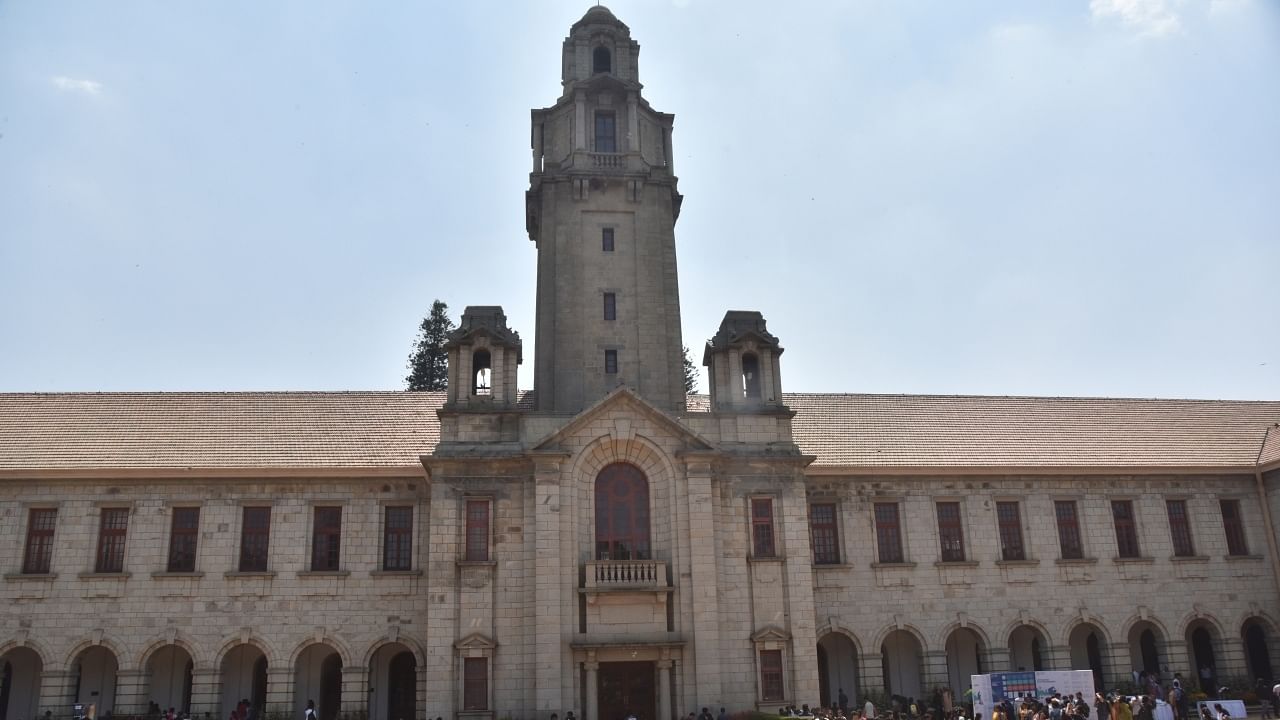
The Indian Institute of Science (IISc) Bengaluru
Credit: Janardhan BK/DH Photo
Bengaluru: Researchers from the Indian Institute of Science (IISc), who showed unsettling developments of Bengaluru from 1973 to 2023, have now developed portals for visualising data and track damage done to the lakes in the city.
In December 2023, researchers — led by TV Ramachandra of Energy and Wetlands Group, Centre for Ecological Sciences, IISc — traced Bengaluru’s growth in the last five decades.
Their analysis showed that areas with vegetation have come down from 68.2 per cent of the landscape in 1973 to 2.9 per cent in 2023.
“The implication of the continuation of this trend, visualised likely land uses in 2038, highlights that the city of Bengaluru will be choked with paved surfaces (to the extent of more than 98%); and 69.9% of the landscape in the Bangalore Urban district would be paved areas,” the study has warned.
The portal showing the city’s landscape dynamics shows a green Bengaluru turning red, while the lake portal provides the outline of the original extent of 175 lakes.
It also has a feature to track the efficacy of the restoration projects that have been taken up in the last few years.
“We also have the details regarding encroachers. We are verifying the data before publishing it,” Ramachandra said.