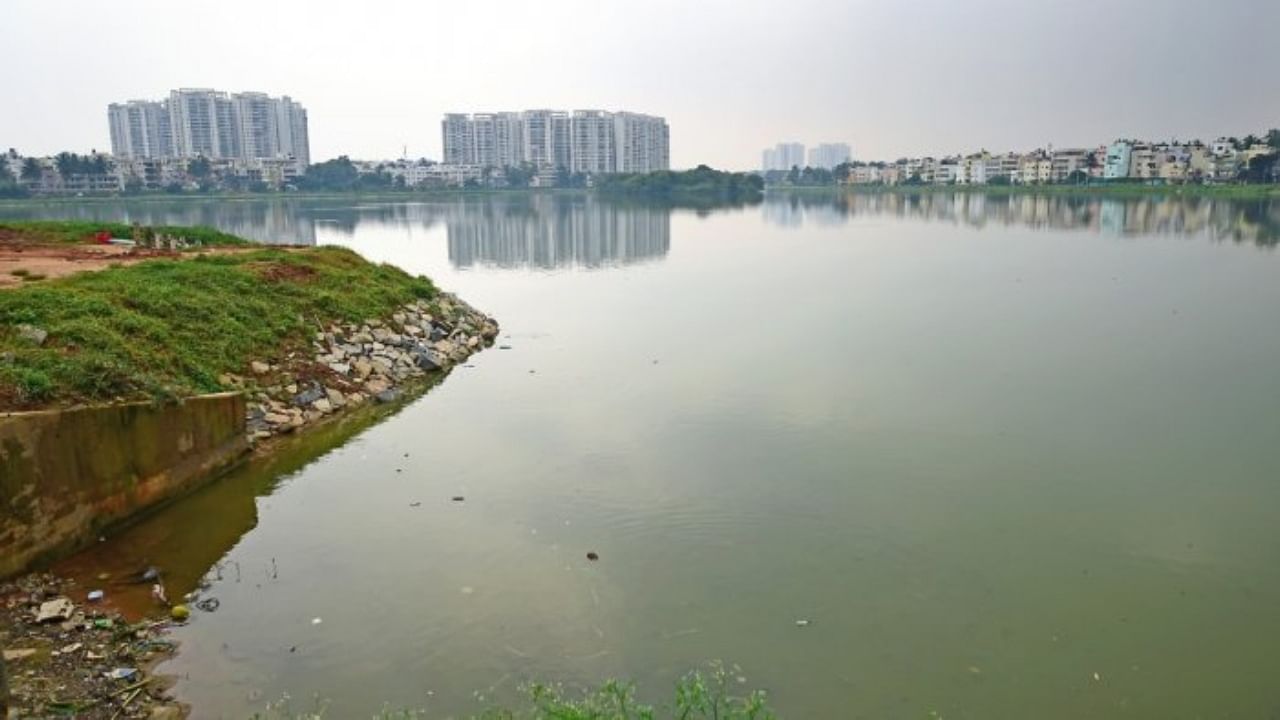
Karnataka Chief Secretary Vandita Sharma has informed NGT that steps are being taken to carry out mapping of Chandapura lake catchment area to identify all drains carrying mixed effluents and entering the lake.
In her affidavit before the NGT, the Chief Secretary said that the map of Chandapura lake catchment area and flow details of natural drains have been obtained from Karnataka State Remote Sensing Application Centre (KSRSAC). The total station survey of the catchment area is under process by the Deputy Director of Land Records. The mapping as per the directions by the NGT will be completed by the end of this month, the Chief Secretary said.
The National Green Tribunal (NGT) was hearing a pollution case pertaining to Chandapura lake in Anekal Taluk.
Direction has been given to the Karnataka Urban Water Supply and Drainage Board to divert nala/stop the entry of sewage to the lake and sought a detailed report from the IISc scientist on the use of cost-effective methods to reduce pollution in the lake.
"Karnataka State Public Control Board (KSPCB) has been told to conduct an environmental audit of the industries situated in the catchment of the lake and the task assigned to RV College of Engineering College, Bengaluru," Sharma said.
Orders have been issued from the Minor Irrigation Department to take up the work on Design-Build-Operate-Transfer (DBOT) method, for "providing natural treatment arrangements for untreated water of Chandapura tank."
A Lift Irrigation Project is being implemented by the Minor Irrigation Department to fill up 69 tanks in Anekal taluk.
"The said Lift Irrigation Project is on a trial run from April 2022," Sharma added.
