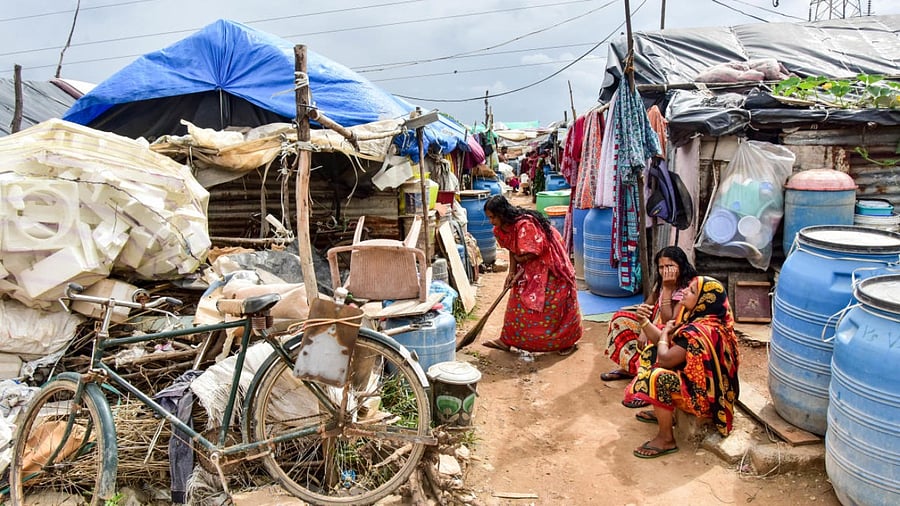
The way neighbourhoods have evolved in Bengaluru city eerily reflects the traditional caste patterns seen in villages, a research finding has shown.
Citing maps, the study has shown how slums, where 80% occupants are Scheduled Caste (SC) and Scheduled Tribe (ST), have come up in low-lying areas closer to the dominant-caste neighbourhoods.
“Lower castes were traditionally not allowed to live in villages, but they had to live close enough to do certain jobs that members of the upper castes would not do. Also, the upper caste traditionally did not live downstream, due to notions of purity. The urban landscape of Bengaluru fits into these medieval patterns,” independent researcher Sumanto Mondal said when presenting his findings at the Alternative Law Forum in the city on Friday.
Not so surprisingly, the slums downstream are more prone to floods, the research findings revealed. The findings were based on data of declared (officially recognised) slums from the 2011 Census.
While SCs and STs together make up only around 22% of the state’s population, their proportion in slums is staggeringly high.
For example, census data shows SCs and STs make up 73% of the population of slums in Malleswaram. “Since nobody in upper-caste areas like Malleswaram do essential jobs like sanitation services, these jobs are done by slum residents,” Mondal said, using maps to demonstrate how slums perfectly corresponded with dominant-caste localities.
Maps reveal distinct development patterns in Bengaluru. Elevated areas like Malleswaram and High Grounds, with a higher concentration of dominant-caste populations, are organised into grids. In contrast, lower-altitude regions exhibit haphazard development. Adjacent to drains and rajakaluves, slums are at a higher risk of flooding due to the significant waste carried by these water channels.
