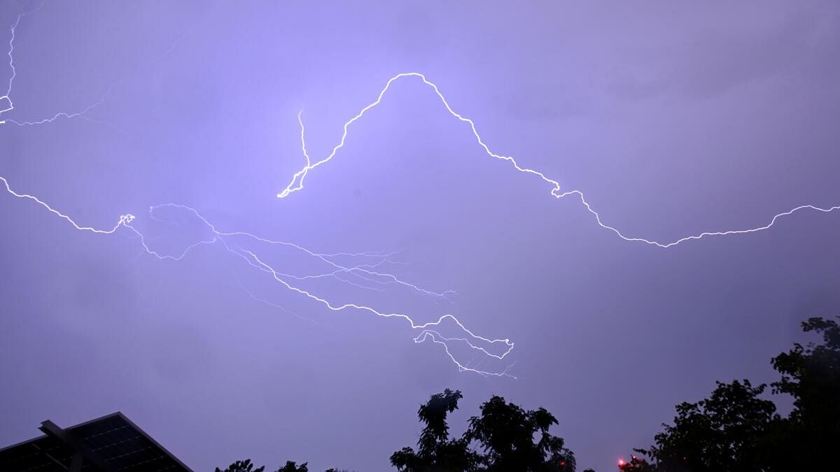
Yelahanka and the surrounding areas in the north were the epicentre of last night's torrential downpour.
Credit: DH Photo/Pushkar V
Bengaluru: This October has been the fourth-wettest for the Bengaluru Urban district in the last 124 years, according to data released on Tuesday.
For citizens grappling with an unusually active northeast monsoon, which has flooded hundreds of homes and further clogged the city's congested streets, relief may be around the corner.
The India Meteorological Department (IMD) predicts that the most intense phase of the October rains is over. The city is forecast to receive moderate rainfall (up to 60 mm) from Wednesday afternoon through Thursday, followed by four days of clear, sunny weather.
So far this month, Bengaluru Urban has received 241 mm of rainfall, compared with the normal of 118 mm. The wettest October on record for the district was in 2005, with 291 mm, followed by 1943 (287 mm) and 1970 (253 mm).
Bengaluru Urban received a further 23.5 mm of rainfall between 8.30 am and 5.30 pm on Tuesday, according to the IMD, which aggregates district-wise rainfall data by calculating the area-weighted average from multiple weather stations.
Yelahanka and the surrounding areas in the north were the epicentre of last night's torrential downpour. The Telemetric Weather Station (TWS) set up at the Karnataka State Natural Disaster Management Centre (KSNDMC) in Yelahanka received an astounding 190 mm while recordings taken at GKVK (Jakkur) showed 186.2 mm, most of it falling on the intervening night of Monday and Tuesday.
During the same period, the Bengaluru city observatory recorded 17.1 mm, the HAL airport 36.3 mm and the Kempegowda International Airport 42.7 mm.
For October so far, Bengaluru city has received 265 mm, 129 mm more than the normal; HAL airport 264 mm, an increase of 128 mm; KIA 148 mm and GKVK 505 mm. No historical data is available for KIA and GKVK.
N Puviarasan, head of the Meteorological Centre at IMD Bengaluru, explained that the rainfall was driven by a strong upper-air cyclonic circulation over Tamil Nadu and Karnataka. In addition, a trough (long, elongated area of low atmospheric pressure) still prevails, which will likely cause moderate rainfall in Bengaluru on Wednesday and Thursday, he added.
C S Patil, Scientist 'E' at IMD Bengaluru, noted that wind convergence at lower levels had increased convection, leading to intense rainfall.
Yellow alert
The IMD has issued a yellow alert, forecasting isolated heavy rainfall/thundershowers for Bengaluru until Wednesday morning. Moderate rainfall is expected for the rest of the day.
The IMD has also issued a yellow alert for Uttara Kannada, Udupi, Dharwad, Belagavi, Haveri, Mandya, Mysuru, Hassan, Kodagu, Ramanagara, Tumakuru and Chitradurga.
Dry spell from October 25
After days of persistent rainfall, Bengalureans can look forward to clear skies from October 25 onwards.
"The dry spell will last three to four days towards the end of the month," Puviarasan said.