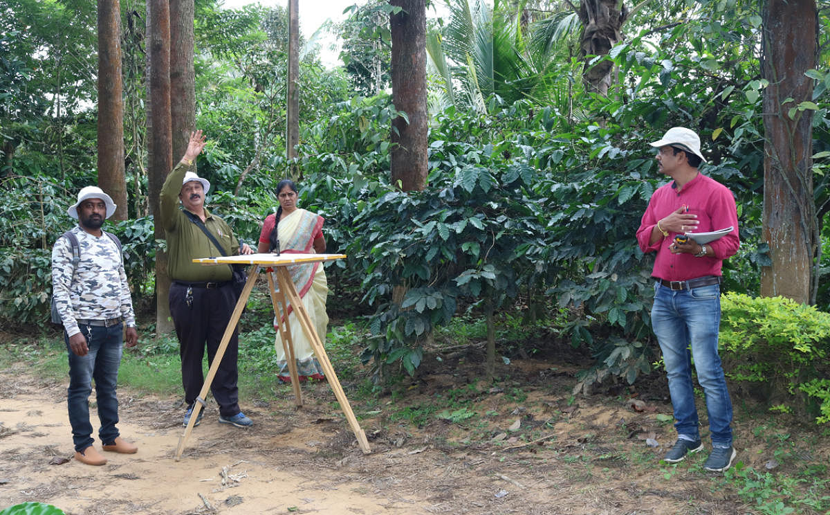
The drive to clear encroachments on government land at Abhyath Mangala, in order to provide land for the construction of houses for flood victims, commenced on Saturday.
Owing to floods in River Cauvery, residents of Guhya, Karadigodu, Nelyahudikeri, Bettadakadu and other villages, situated on the banks of the river, had lost their
houses. To construct houses for flood victims, the district administration had identified and earmarked government land at Bettadakadu and Abhyath Mangala
villages.
When the district administration decided to clear the encroachments on the government land, two estate owners had brought stay from the court.
After vacating the stay, the authorities on Saturday started the process to reclaim the government land.
The district administration had decided to clear 8.70 acres of government land on survey number 87/2 and 87/4 at Abhyathmangala one month
ago.
Owing to the stay order from the court, the land could not be reclaimed. After vacating the stay, a team led by Assistant Commissioner Javare Gowda initiated the process to clear the encroachments.
Land surveyors identified the border of the encroached land. Earth movers cleared all the plants, including coffee, arecanut and pepper, on the encroached land.
Gowda said district administration had initiated measures to provide sites for the flood victims. “There are a few trees on the encroached land. The forest department has made a list of the trees. Unwanted trees will be felled from the
land.”
The flood victims can construct temporary shed on the reclaimed land. A sum of Rs 50,000 will be given to them in two installments for the construction of the sheds, he added.
The district administration has carried out a survey and identified the border of 10.82 acres of encroached government land at
Bettadakadu.
As there was confusion in the map of the land owned by a estate owner, he had filed a complaint in the court and accordingly, the court had issued a temporary stay on clearing the encroachments.
The court in turn had directed the estate owner to identify the border of his land and directed the survey department deputy director to identify the government land.
Accordingly, the survey of land on survey number 169/1 was held at Bettadakadu.