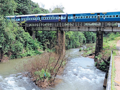
The Yettinahole drinking water project may be a much touted one, aimed at quenching the thirst of millions in Bengaluru Rural district and arid districts like Tumakuru, Kolar and Chikkaballapur. But it may not be very environment friendly or useful for the targeted beneficiaries, feel experts. Ecologists have been opposing the project ever since its conception.
This seems to be the inference of a recent study by a team of experts from the Centre for Ecological Sciences (CES) of the Indian Institute Science (IISc), Bengaluru.
Sharing a copy of the report with Deccan Herald, Prof T V Ramachandra of the CES said that the Yettinahole stream and the immediate catchment area fall under the Ecologically Sensitive Zone-1. Hence, these are strictly no-development activity zones. These are the areas that the Karnataka Neeravari Nigam Limited (KNNL) has identified for diverting and storing water.
These areas are spread across 179.68 sq km. The areas are an elephant habitat as per the Karnataka Elephant Task Force. The soil is highly fertile and permeable. The government has estimated the project to cost Rs 12,912 crore. It is aimed at reviving water bodies in TG Halli, Kadur, Arsikere, Tiptur, Chikkanayakanahalli, Gubbi, Madhugiri, Ramanagar, Gauribidanur, Nelamangala, Hesaraghatta, Doddaballapur, Hosakote, Devanahalli, Chikkaballapur, Bagepalli, Chintamani, Srinivaspur, Shidlaghatta, Malur, Kolar, Mulbagal and Bangarpet.
The presence of thick evergreen forests and grasslands in the catchment is responsible for higher infiltration and perennial streams. Any anthropogenic activity involving largescale land cover changes would hit the hydrology of the river basin, affecting the dependent biota, the report says. According to the department of statistics, the catchment area receives 3,000-4,500 mm rainfall annually.
The proposed weirs have an overall catchment area of 176 sq km with evergreen forests dominating the catchment to an extent of 45.05 per cent, followed by agriculture plantations (coconut and arecanut) - 29.25 per cent and grasslands - 24.06 per cent.
Ramachandra pointed out that the total run-off yield from the catchments is estimated to be 9.55 tmc. This is in contrast to the estimated 24 tmc mentioned in the detailed project report prepared by KNNL or 22 tmc according to the Karnataka Power Corporation.
The inflated values of water yield in the catchment would only lead to the failure of the water diversion scheme like in the case of the Telugu Ganga Project, the report says. Implementation of the project would affect the livelihood of the dependent population (current users in Yettinahole catchment area) and also not benefit the likely beneficiaries in the arid regions of the State, it concludes.