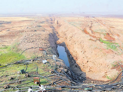
The loss of forest cover in the Krishna basin is the reason for perennial flooding in Karnataka during the monsoon, a recent study by the World Resource Institute (WRI) shows.
Forest cover in the Krishna basin has reduced drastically over the last decade. The study, ‘Watersheds lost up to 22% of the forests in 14 years. Here’s how it affects your water supply’, blames the loss of forest cover for snap floods in the Krishna basin.
Global Forest Watch (GFW) Water, a global mapping tool and database, points that the watersheds were lost from 2004-14 with a global average of 6%.
Sumatra in Indonesia was the hardest hit globally, while the Krishna basin in India is left with just 3% of its forest cover.
The study was conducted by Todd Gartner, Senior Associate and Manager, and Yiyuan Qin, Researcher Analyst. Both the researchers are from the Natural Infrastructure for Water project.
‘Historic loss’
The researchers termed the loss of forest cover in the Krishna basin a historic loss. They explained that the forest loss took place prior to 2000, which also led to change in water flow, higher sedimentation level and the impact was uncertain compared to the recent forest loss.
According to the Global Water Forest, the watershed on Krishna was covered with forests, but now less than 3% of the trees remain as a result of urbanisation and crop land expansion.
Communities in the area are suffering from frequent droughts, floods and high levels of water pollution from agricultural run-off.
Sedimentation is a recurring challenge to reservoirs and dams. Thus, there is a need for massive afforestation in deforested areas which will enhance the natural forest generation, and integrating trees with crops and ranchlands could also help.
The team is planning for a detailed study on the extent and area dynamics for the future.