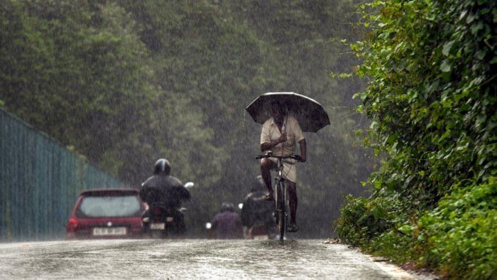
The rainfall situation in Karnataka's three coastal districts has improved but only just.
The India Meteorological Department (IMD) has issued a five-day yellow alert (meaning heavy rainfall) for Uttara Kannada, Udupi and Dakshina Kannada. However, things could escalate on July 12 and 13 as more places in the three districts will receive heavy rainfall (7-11 cm), according to the IMD forecast.
A Prasad, who heads the IMD's meteorological centre in Bengaluru, said an active trough running from southern Gujarat to northern Kerala at mean sea level was bringing heavy rainfall to coastal Karnataka. A trough is an elongated area of low atmospheric pressure.
In the 24-hour period ending at 8.30 am on Sunday, Mulki, near Mangaluru, and Manki, near Honnavar, received 15 cm and cm of rainfall, respectively. This translates to very heavy rainfall.
The rainfall flooded many parts of coastal Karnataka, blocked highways and brought normal life to a standstill. But the situation would improve in three days, Prasad said.
"The trough isn't very active now. So we expect only a spatial distribution of widespread heavy rainfall," he told DH. However, a subsequent cloudburst could result in heavy rainfall in more places on July 12 and 13, mostly during late-night or early-morning hours, he added.
The southwest monsoon has recovered in Karnataka. The state's rainfall deficit has fallen from 75% in June to 25% now. "July has been encouraging. Except for the southeastern parts of South Interior Karnataka (SIK), the state will get normal or excess rainfall," Prasad said. The SIK's southeastern parts include Bengaluru Urban, Rural, Kolar, Chikkaballapur and Tumakuru.
Presently, two districts (Chitradurga and Vijayanagar) have received excess rainfall and 12 districts have had normal rainfall. The remaining 15 districts have a rainfall deficit but that's not large, the IMD official explained.
Rainfall is considered normal when it varies from 19% to -19%.