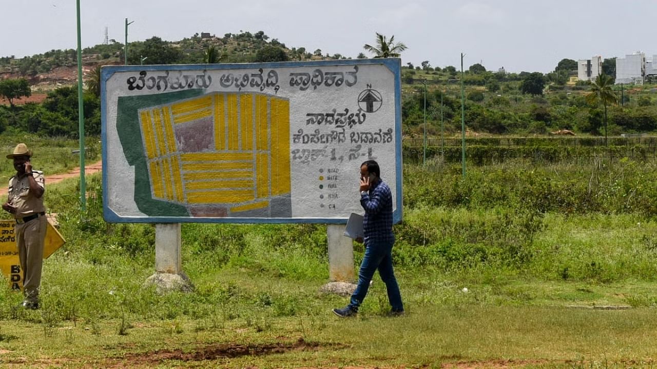
Representative image of land.
Credit: DH Photo
In an effort to save government land from fraudulent regularisation, the state government is all set to come out with an app in coordination with the Indian Space Research Organisation (ISRO) and Karnataka State Remote sensing Applications Centre (KSRSAC), which will enable geo-fencing of plots and identify false claims.
There are about 10 lakh applications pending for land regularisation under Form 53 and 57 through which applicants seek regularisation of illegal cultivation on government land.
There have been several complaints about bogus claims by applicants as well as unauthorised grant of lands by revenue officials.
A recent inquiry by the revenue department revealed that an extent of 6,200 acres of government land in Kadur and Mudigere of Chikkamagaluru district was illegally granted to applicants by local officials, Principal Secretary (Revenue) Rajender Kumar Kataria told DH, underlining the significance of this app.
“The Isro will provide us with satellite images beginning from 1996. Suppose a person applies for regularisation by claiming to be cultivating in a specific area. The system will be able to superimpose the images of the land over the years to see whether cultivation actually took place. It will fetch the images of different years and even season-wise data to identify cultivation,” he explained.
Both Isro and KSRAC will give certification about each plot as to whether it is cultivated land or forest land.
“This will protect government land from about 80-90% of false claims. While genuine applicants must not be harassed, we are also not here to promote distribution of large scale public land. Our priority is to ensure land for schools, anganwadis, playgrounds and other public amenities,” the official added.
Once the app is in place, the village accountant, revenue inspector and the applicant will take part in geo-fencing of the plot and the image will be uploaded in the system. Until now, the village accountant would draw ‘panchnama’ and ‘mahajar’, and there was no verification of this work.
Tahsildars will henceforth be asked to sign a declaration that they have gone through the documents before granting lands.
Further, pinning accountability on the ‘bagair hukum’ committees led by MLAs, the department will insist on biometric attendance for these meetings to place on record those present in the meetings.
As part of the larger effort to safeguard government land, the department will make it mandatory for village accountants and revenue inspectors to visit plots cleared of encroachments at least thrice a year and upload video and photo to make sure that the land remains safe.
The department is also keeping an eye on high-value properties in and around Bengaluru.
Criminal action will be initiated against revenue officials wherever criminal intent is found, along with disciplinary action. The department has rarely taken criminal action until now, Kataria said.
How it works
App to help revenue dept identify bogus claims by applicants
Isro to provide satellite images from 1996
If anyone applies for land regularisation by claiming to be cultivating in an area, the system will superimpose images over the years to see whether cultivation actually took place
App will enable geo-fencing of plots by village accountant, revenue inspector and applicants
