None of the 61 dams in Kerala have ever prepared an Emergency Action Plan. The Plan is an official document that identifies potential emergency conditions at a dam and specifies preplanned actions to be followed at the time of releasing a high volume of water to minimise property damage and loss of life.
The emergency procedure includes carrying out dam-break analysis and preparing inundation maps with downstream terrain information, delineating the areas to be flooded as a result of dam failure or unusually large spillway release.
None of the 61 Kerala dams, noted the Comptroller and Auditor General in a 2017 report, carried out that crucial exercise.
The absence of emergency action plan, dam-break analysis and inundation maps would mean that dam operators would not have a complete understanding on the impact of huge volume of water released from these dams.
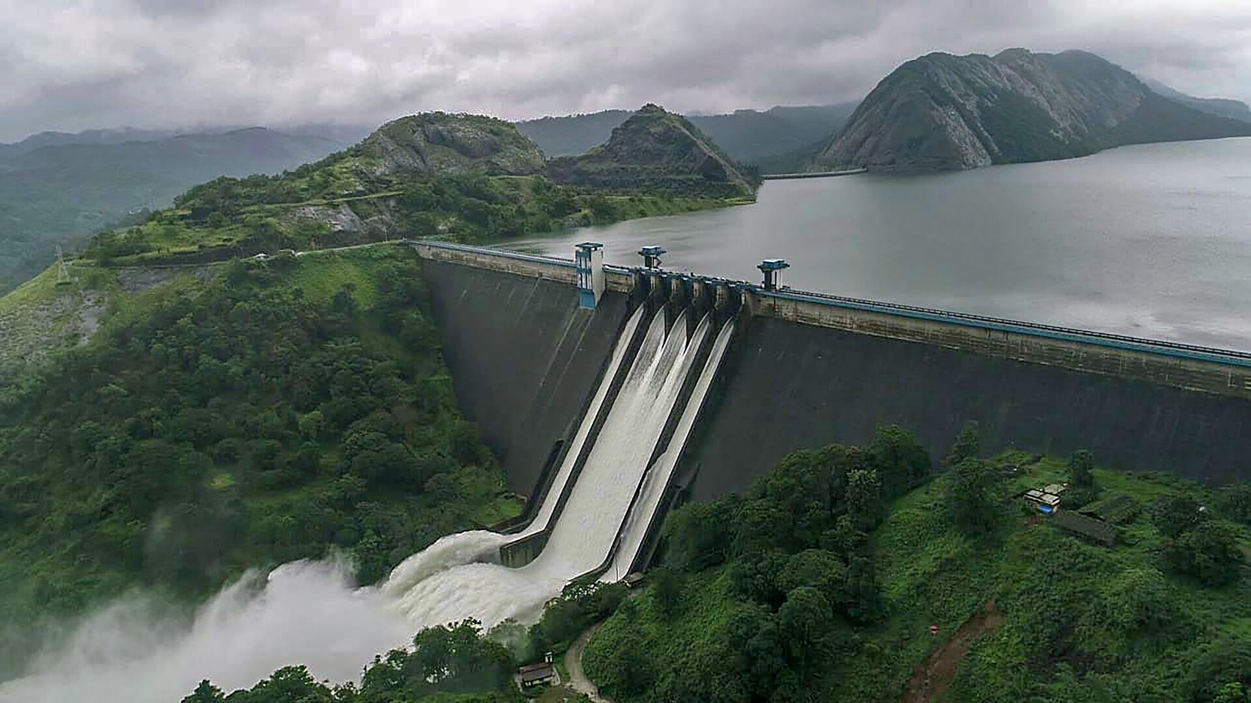
As the flood-ravaged state struggles to cope up, questions are now being raised on whether proper procedure was followed before opening up the lock gates. Shutters of several dams were reportedly opened within days creating a deluge in several parts of Kerala.
For the first time in history, all the five gates of Idukki reservoir – one of Asia's biggest – were opened to release extra water.
The 2017 CAG report also showed Kerala didn't have a single flood forecasting station.
No preparation
In all, there are 226 flood forecasting stations consisting of 166 water level forecasting stations for villages and towns and 60 inflow forecasting stations for dams. The government plans to increase the number of flood forecasting stations to 325 by March 2020.
Most of India's flood forecasting work carried out by Central water Commission focuses on inter-state rivers like Ganga, Yamuna, Brahmaputra, Mahanadi and Koshi. Kerala is also not alone when it comes to flood preparedness and dam operation as the CAG report shows that out of 4,862 Indian dams, only 349 dams have an emergency action plan.
Neither the Water Resource Ministers, ministry or Central Water Commission officials had discussed dam operation in Kerala when the state was battered by heavy rain of 771 mm between August 1-20 – the highest since 1931.
