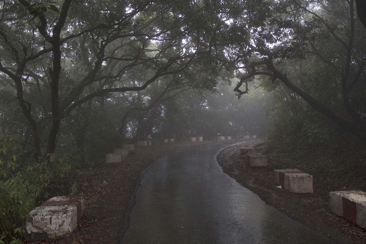
In what bears the signature of climate change, the picturesque hill station of Mahabaleshwar has seen a record over 1,500 mm rainfall in the last three days.
Nestled in the mountainous Sahyadri range of the Western Ghats, Mahabaleshwar town was the summer capital of Bombay Presidency during the British Raj.
According to the India Meteorological Department (IMD), Mahabaleshwar has been receiving heavy rainfall over the last week.
In the 24 hours between July 22 and 23, Mahabaleshwar recorded 594.4 mm rainfall.
On July 20-21, it recorded 482 mm rainfall, while on July 21-22, the figure was 461 mm rainfall.
In three days, the town received 1,534.4 mm rainfall, breaking previous records.
“Many places near Verna Lake are flooded. But now the rains are receding,” said KS Hosalikar, Scientist-D, Head SID, Climate Research & Services, Pune.
Mahabaleshwar is the origin of five rivers including Krishna -- the fourth-biggest river in India -- that flows across Maharashtra, Karnataka, Telangana and Andhra Pradesh - covering 1,400 km - and empties into the Bay of Bengal.
The others are Koyna, Venna, Savitri and Gayatri.
Over the last few years, Mahabaleshwar has been receiving very high rainfall -- often crossing 250 to 300 mm in 24 hours -- earning the sobriquet of Maharashtra’s Cherrapunji or Mawsynram.
It is located about 120 kilometers southwest of Pune and 285 kilometers from Mumbai, Mahabaleshwar is a vast plateau measuring 150 kilometers, bound by valleys on all sides.
It reaches a height of 1,439 meters (4,721 feet) at its highest peak above sea level, at a place known as Wilson or Sunrise Point. Mahabaleshwar comprises three villages: Malcolm Peth, Old ‘Kshetra’ Mahabaleshwar, and part of a village called Shindola. Constructed at the confluence of five rivers, Krishna, Venna, Savitri, Koyna and Gayatri, the Panchganga Temple is a major religious destination for devotees.
Mahabaleshwar accounts for 85 per cent of India's strawberry produce.