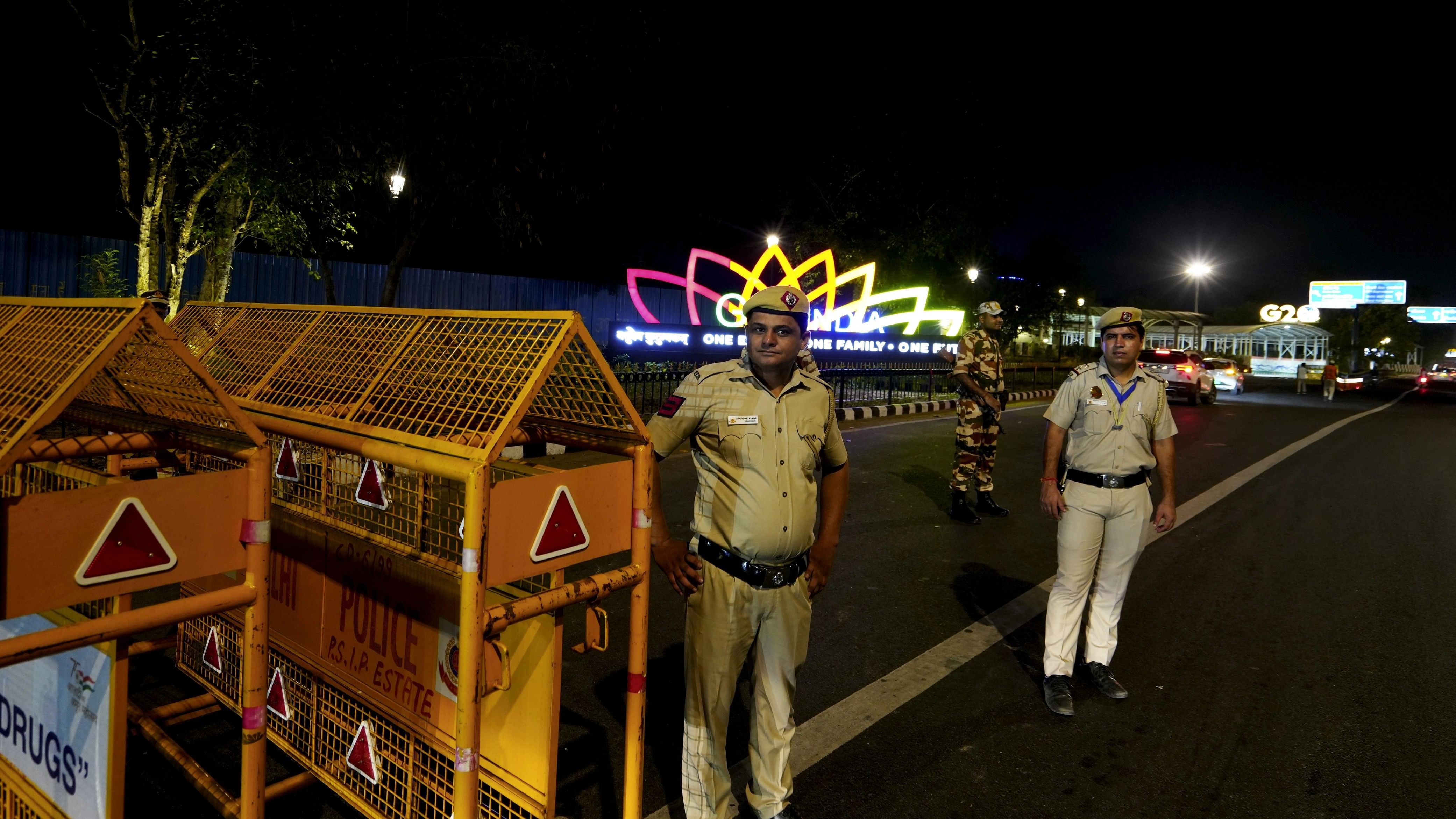
Security personnel stand guard near Pragati Maidan ahead of the G20 Summit, in New Delhi.
Credit: PTI Photo
Domestic navigation services company MapMyIndia has collaborated with Delhi Police to show real-time traffic updates on its Mapples app during the G20 Summit, the company said on Wednesday.
The Mapples navigation map will show the latest traffic conditions, affected by VIP movements and other unforeseen circumstances during the G20 Summit, a company statement said.
"Delhi Police shared all the planned traffic restrictions and road closures. We ingested the same into our routing, navigation and traffic engine."
"For users, it is still a simple experience - search for the destination and then click on directions and navigate - and we will suggest a route around the restricted area," MapMyIndia CEO and Executive Director Rohan Verma said.
The G20 Summit is scheduled to be held on September 9 and 10.
In case of route closures due to traffic restrictions, Mappls App users can discover alternate routes and navigate to destinations closest to their original destination, the statement said.