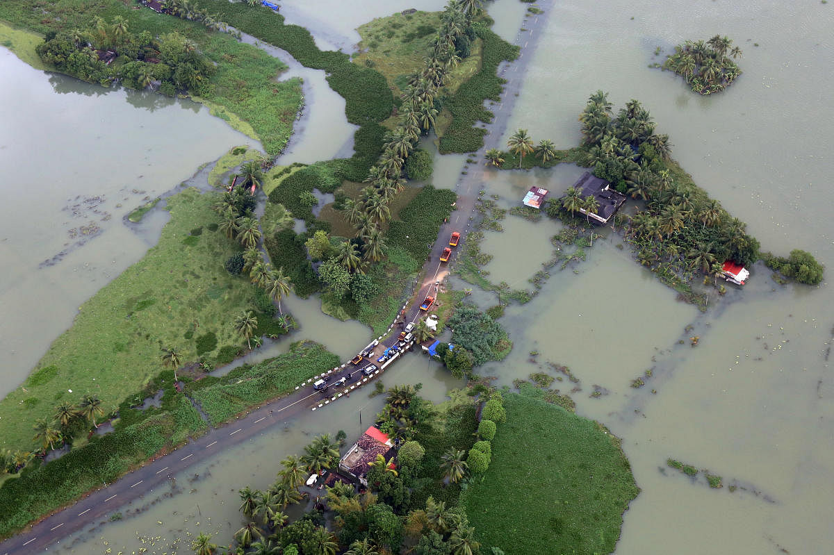
The US space agency Nasa on Tuesday released satellite measurements of Kerala rainfall to demonstrate how crucial was the role of Western Ghats in triggering heavy rainfall over south Karnataka and Kerala that displaced nearly 800,000 people.
“Although the extreme Himalayan topography is much more well-known, a contributing factor to the heavy rains along the southwest coast of India is the Western Ghats,” Nasa's Goddard Space Flight Centre said in a statement.
Though smaller than the Himalayas, this mountain range runs parallel to the west coast of India with many peaks over 2,000 metres (about 6,500 feet).
As a result, the Western Ghats were well positioned to enhance rainfall along the West Coast of India as they intercepted the moisture-laden air being drawn in off the warm waters of the northern Indian Ocean and the Arabian Sea as part of the southwest monsoon circulation, it said.
The satellite images used by Nasa showed two bands of successive heavy rains across India in August in quick succession.
The first band of rainfall appeared much broader and extends across the northern part of the peninsula with weekly rainfall ranging from over 120 mm towards the western half of the peninsula to as much as 350 mm over the eastern half. The first band is associated with the general monsoon circulation.
The second band appeared more concentrated and intense and is closely aligned with the southwest coast of India and the Western Ghats where onshore flow was enhanced by an area of low pressure embedded within the general monsoon, said the Nasa statement.
Weekly rainfall in this band is generally over 250 mm with embedded areas exceeding 400 mm. The maximum estimated rainfall value in this band was 469 mm. The Nasa study is based on the inputs provided by the Global Precipitation Measurement mission core satellite, which is a joint mission between NASA and the Japan Aerospace Agency.
The same was also found by the India Meteorological Department that reported two low-pressure system originating in the Bay of Bengal on August 7 and August 14. These two systems accelerated the movement of moisture-laden air from the Arabian Sea over Kerala. When the air collided with the Western Ghats, it rose and led to the rainfall, IMD officials said.
Kerala received 771 mm rainfall between August 1-20, according to the records maintained by IMD, Pune. This is the highest since 1931 when the southern state received 1132.9 mm of rainfall in the entire four-month-long monsoon season – 175% more than normal.
Between August 16-22, the southern state received 219% more than normal rainfall.