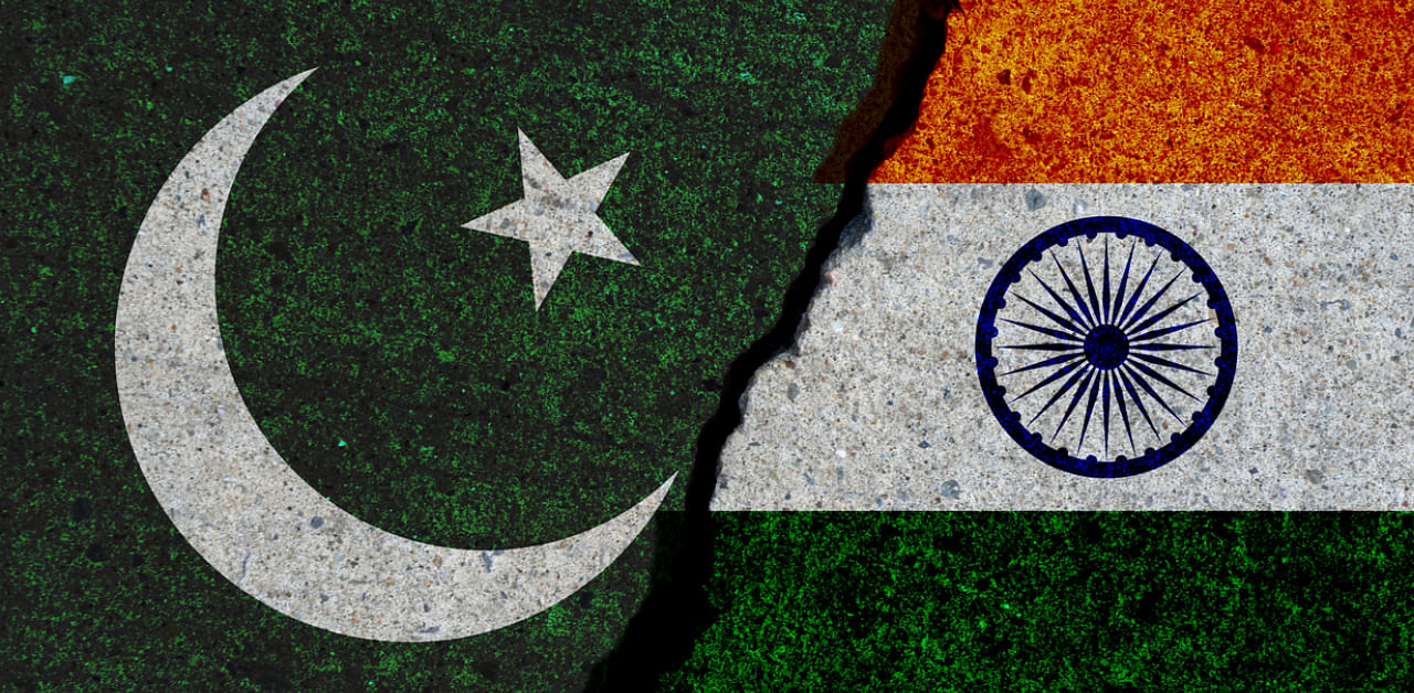
Imran Khan’s government in Islamabad on Tuesday officially published a new map, showing within Pakistan, not only India’s two Union Territories – Ladakh and Jammu and Kashmir – but also Junagadh in its western state of Gujarat.
Khan, himself, unveiled the new map of Pakistan – a year after India had on August 5, 2019, moved to strip the then state of Jammu and Kashmir (J&K) of its special status and reorganized it into two Union Territories. “This is the most historic day for Pakistan,” said the Prime Minister of the neighbouring country as he addressed a news conference in Islamabad after his government approved the new map.
New Delhi dismissed Islamabad’s move to publish the new map of Pakistan as “ridiculous” and “an exercise of political absurdity”. The Ministry of External Affairs (MEA) of the Government of India stated that the new map put out by the Khan Government only confirmed Pakistan’s “obsession with territorial aggrandisement supported by cross-border terrorism”.
Pakistan published its new map amid its “iron brother” China’s aggressive moves to unilaterally alter the status quo along the communist country’s disputed boundary with India in eastern Ladakh. The military stand-off between the two nations could not be resolved yet, as the Chinese People’s Liberation Army (PLA) declined to fully withdraw troops from the face-off scenes even after agreeing with the Indian Army on a phased process to mutually pull back soldiers.
Beijing earlier prodded Prime Minister K P Sharma Oli’s government in Kathmandu to publish a new map of Nepal, incorporating in its territory nearly 400 sq kms of area of India.
Khan on Tuesday said that Pakistan had for the first time published a political map which showed within its territory entire Kashmir, including the areas currently under the administrative control of India. He said that the new map reflected fully the “aspiration” of people of Kashmir as well as the people of entire Pakistan.
The cricketer-turned-politician also claimed that the new map had the endorsement of all political parties in Pakistan, not merely of his Pakistan Tehreek-e-Insaf, which was in power since August 2018.
Pakistan has since long been challenging India’s control over J&K, but this is the first time it published a map, incorporating the entire area in its territory. India, on the other hand, claims the entire J&K as part of its territory, including the area under illegal occupation of Pakistan.
The Khan Government’s decision to include Junagadh in the new map of Pakistan, however, came as a surprise for India. The Nawab of the erstwhile princely state of Junagarh, Muhammad Mahabat Khanji III, had acceded to Pakistan on September 15, 1947. But when a plebiscite was held on February 20, 1948, an overwhelming 99.95% of the people of Junagadh had voted in favour of making the state a part of India. It remained a part of Saurashtra state of India for almost a decade. It became a part of Bombay along with the rest of Saurashtra in 1956. Bombay was split into Maharashtra and Gujarat in 1960. Junagadh was then included in the territory of Gujarat.
Pakistan did not refer to Junagadh as a subject of its dispute with India during the past several decades.
The new map issued by Islamabad also has the Sir Creek estuary within the territory of Pakistan. The 96-kilometre-long estuary on the Indus River Delta marshland has been a disputed territory between India and Pakistan. The two sides, however, had reached closer to a deal to settle the dispute during the series of bilateral Composite Dialogue before it had been interrupted in 2008 in the wake of the 26/11 terrorist attacks in Mumbai.
The inclusion of the Sir Creek estuary and Junagadh as parts of the territory of Pakistan indicated Islamabad’s move to harden its stance on its territorial dispute with India.
“This is an exercise in political absurdity, laying untenable claims to territories in the Indian State of Gujarat and our Union Territories of Jammu and Kashmir and of Ladakh. These ridiculous assertions have neither legal validity nor international credibility,” Anurag Srivastava, the MEA spokesperson in New Delhi, said, shortly after the new map was released in Islamabad. “In fact, this new effort only confirms reality of Pakistan’s obsession with territorial aggrandisement supported by cross-border terrorism.”
Khan-led Pakistan Government’s campaign against New Delhi’s August 5, 2019 move on J&K. Beijing too joined Islamabad in opposing the decision by Prime Minister Narendra Modi’s government, not only out of solidarity with its “iron brother”, but also due to its own concern over the implication of New Delhi’s decision on China-India territorial row in the western sector of the disputed boundary.
“This map also opposes the Indian Government's illegal act of August 5 last year,” Pakistan Prime Minister said, adding: “The settlement of the dispute over Kashmir only lies in the United Nations Security Council resolutions.”
The Modi Government has been steadfastly resisting moves by Pakistan and China to bring the issue of J&K back to the UN Security Council’s agenda. New Delhi has been maintaining that the 1972 Shimla Agreement between India and Pakistan and the 1999 Lahore Declaration by the two sides had left no scope for the UN or any third party to play any role in resolving the “outstanding issues” between the two South Asian neighbours.
