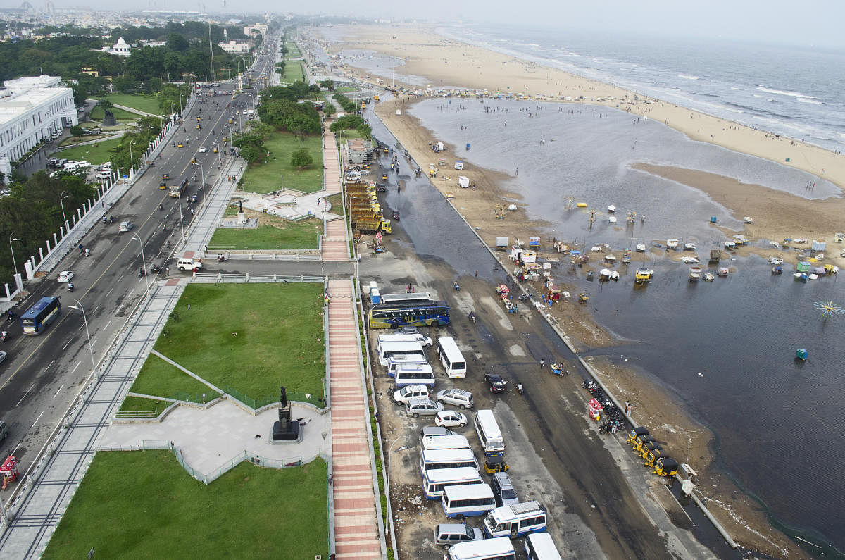
Tamil Nadu coast, including Chennai, is expected to receive heavy rains for the next few days following formation of a low pressure in the Bay of Bengal which could transform into Cyclone Fani by next week, IMD and weather experts said on Thursday.
Like the Cyclone, if it makes landfall, is expected to pack winds to a maximum of 115 kmph, the Indian Meteorological Department issued ‘red alert’ to Tamil Nadu asking the southern state to take necessary precaution. Though a ‘red alert’ has been issued, IMD and weather experts said a clear picture on the exact landfall of Cyclone Fani would be clear only by April 27.
Rains due to the low pressure that could transform into Cyclone Fani would begin from April 27, the MeT said. In its latest bulletin issued at 2.10 pm on Thursday, the IMD said a well low-pressure area lies over East Equatorial Indian Ocean and adjoining the southeast Bay of Bengal.
“It is very likely to intensify into a depression during next 24 hours over East Equatorial Indian Ocean & adjoining central parts of south Bay of Bengal and into a Cyclonic Storm during subsequent 24 hours over southwest Bay of Bengal & adjoining Equatorial Indian Ocean. It is very likely to move northwestwards along & off the east coast of Sri Lanka near north Tamil Nadu coast on April 30, 2019,” the bulletin said.
If Cyclone Fani indeed makes landfall in Tamil Nadu, it would be the second cyclone to hit the state in just six months – Cyclone Gaja in November 2018 left a trail of devastation along the Cauvery Delta region in the state.
Weather tracking website, www.skymetweather.com, reported that it is expected that the system would strengthen into a tropical storm by the evening of April 27 or early morning of April 28.
“It is to be named as Cyclone Fani and by that time, it would have reached Southwest Bay of Bengal, close to Sri Lanka. Gradually, it will come in close proximity of North Tamil Nadu coast in the Southwest Bay of Bengal. Weather models are then showing a tendency of the system to move more of north-northwestwards and re-curve thereafter,” the weather channel said.
It also said the system may become “more intense and spend more time” in the proximity of Tamil Nadu coast, resulting in good rains over the state including Chennai for a prolonged period.
The IMD also asked fishermen not to venture into the sea as the sea condition likely to be rough till April 30.
The cyclone to be named as Fani, if crosses the Chennai coast, would solve all the water woes of this southern metropolis as it is expected to bring heavy to very heavy rains. Indian Meteorological Department will throw more light onto the issue at a briefing scheduled for 2.30 pm here on Thursday.
In a Facebook post, weather blogger Pradeep John said the ridge building up will block the cyclone going away and it would make landfall either in Tamil Nadu or in southern Andhra Pradesh.
“As the forecasted cyclone is expected to stall because of the ridge, this is going to dump lots and lots and lots of rains where ever it is going to cross and surrounding areas. Droughts to floods can happen in some areas if this going to cross Tamil Nadu. It is as of 60% favourable to Tamil Nadu,” John said in his post.
He also said the water problems of the city will be a thing of the past if this cyclone crosses near Chennai. “Sadly, it will be powerful. We need to sacrifice some of the trees for the water sake,” the weather blogger said.