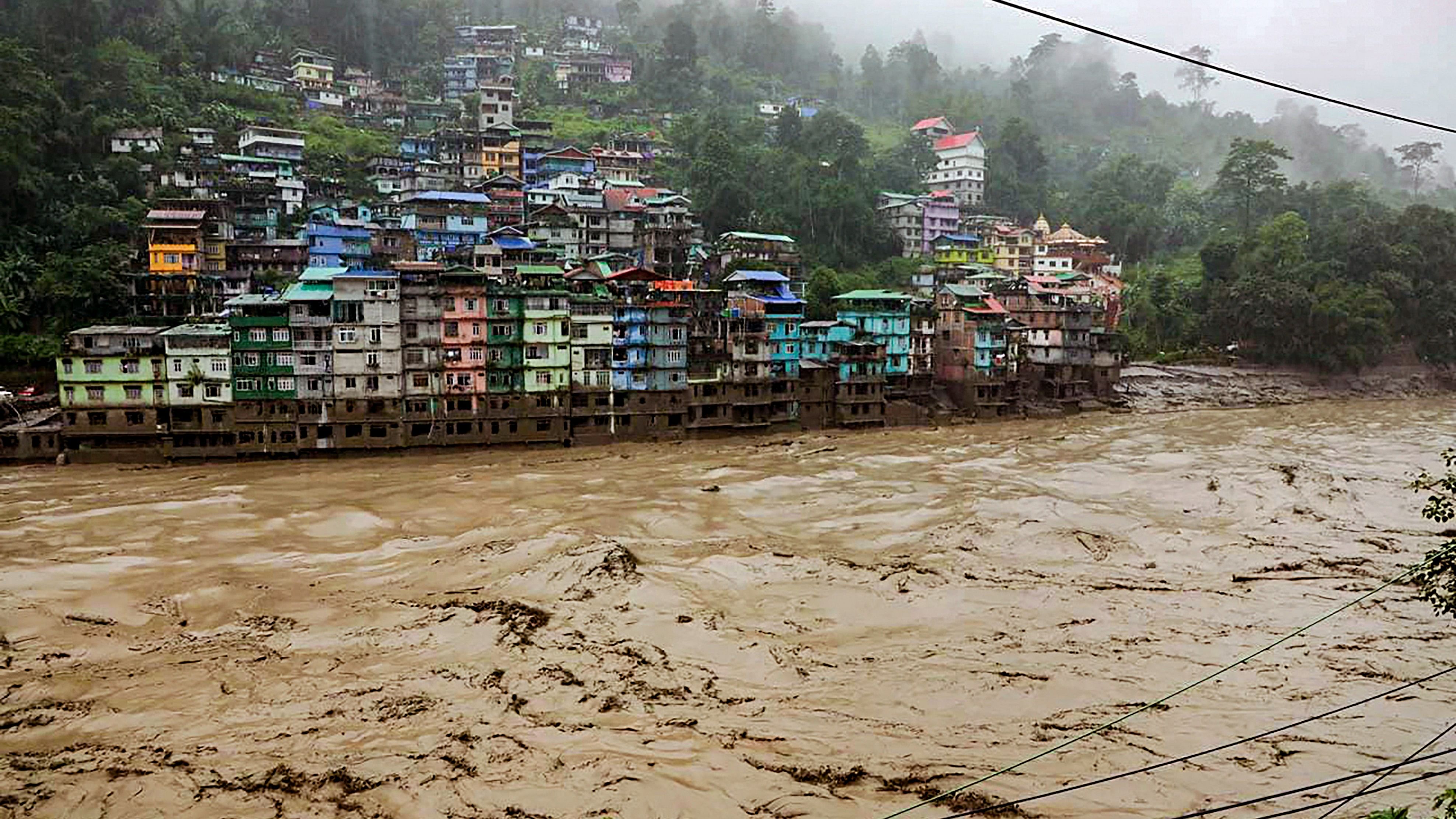
Flooded Teesta river in north Sikkim, Wednesday, Oct. 4, 2023. A sudden cloud burst over Lhonak Lake in North Sikkim on Wednesday has resulted in a flash flood in the Teesta River in Lachen valley, which was compounded by the release of water from a dam.
Credit: PTI Photo
Scientists are exploring whether the strong earthquake that rocked Nepal and the neighbouring region on Tuesday is the reason behind the outburst of the south Lhonak lake that triggered a flash flood in the Teesta river basin in Sikkim.
The lake outburst also led to the breach of the Chungthang dam, the biggest hydropower project in the state. It is part of the 1,200 megawatts (MW) Teesta Stage III Hydro Electric Project in which the state government is the majority stakeholder.
Satellite images released by Hyderabad-based National Remote Sensing Centre showed that the area of the south Lhonak lake reduced by over 100 hectares when compared to its extent on September 17, indicating the lake outburst triggered a flash flood in the Teesta River basin in north Sikkim.
According to officials, at least eight people died and 70, including 23 army personnel, are missing.
"Earthquake that hit Nepal might be a cause of flash floods in Sikkim. The lake was already vulnerable and was spread across 168 hectares. Its area has now reduced 60 hectares, so about 100 hectares of volume of water has breached the level," a senior official at the Central Water Commission (CWC) told PTI.
The official said though it's difficult to ascertain right now but 'a cloud burst does not cause such results'. Some experts who have been to the site think that the earthquake might have triggered the floods there.
He said the flood alerts were also shared with Bangladesh.
The NRSC satellite imagery showed that the lake was spread over approximately 162.7 hectares. Its area increased to 167.4 hectares on September 28 and drastically reduced to 60.3 hectares.
"In this satellite data, it is found that lake area is reduced drastically when compared with September 17 2023RISAT 1A MRS satellite data," an NRSC report read.
Sikkim has 733 glacial lakes of which 288 are above the altitude of 5,000 metres, according to NRSC.
Four earthquakes, the strongest being of magnitude 6.2, jolted Nepal in quick succession on Tuesday with tremors reverberating through parts of India.