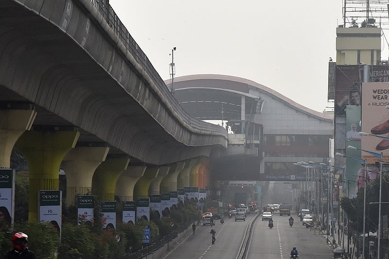
Bengaluru is one of the fast-growing cities of India. With urbanisation and increase in population, people are migrating from other states to the city causing urban sprawl. Peri-urbanisation has brought some important changes in the fringe areas of the state capital. Land use and land cover changes are a major challenge of Bengaluru periphery. Land use in urban and peri-urban areas has grown with increasing population and urbanisation.
Prior to industrialisation, cities and towns were not developed. However, the modern cities of the 18th, 19th and 20th centuries sprawled into the countryside, resulting in the structural changes due to the demands of urban dwellers. The peri-urban areas exhibit an intimate relationship between the city and its surroundings.
The peri-urban phenomenon of countries like the US, China, Thailand, Indonesia and Chile shows that the peripheries of each country are different. While peripheries of the US cities are considered rich, in the case of India, it is a degenerated periphery. Hence, there arises a question why do countries develop such fundamentally different types of peri-urban spaces? In cities like Bengaluru, Chennai and Jaipur, peripheries are different.
Bengaluru is one of the best examples of peri-urban transition in the recent past. Its peri-urban growth is attributed to population growth, IT corridors and industrial developments. It has emerged as the fastest changing city and the major reason for the transition is the growth of industrial and IT corridors.
However, the rapid transition has led to unplanned growth and management especially in terms of infrastructure and services. The area of the city recorded significant increase by 92.1% and the population by 37.8% during 1991-01. The spatial expansion of the urbanised area has increased from 226 sq km in 1995 to 710 sq km. Such an explosive growth cannot sustain without a sound city planning. The matter of major concern is the lack of ability to absorb exodus population in the name of IT and the giant leap that has been taking place, especially in the recent past.
The physical spread of the city is mainly attributed to the following factors such as institutional establishments, large-scale industries, IT corridors, the growth of infrastructure and transportation facilities. The city has expanded much more in the last two decades because of the growth of IT corridors; places like ITPL, Whitefield, Electronic city and Manyata Tech Park regions are the typical examples. That leads the out-growths to the immediate neighbourhoods demanding more housing and infrastructural facilities.
The physical spread of Bengaluru is attributed to the establishment of transportation facilities, airport, metro etc. Gradually, more developments are taking place in the area beyond the Central Business District. The Bengaluru periphery is acting as an engine of economic growth due to the setting up of industries and IT parks in peripheral areas.
The city has undergone different phases of economic growth. In the first phase (1951-61), growth was due to the public sector undertakings with employment generation avenues. The second phase (1960-70) was mainly because of the industries and state-run businesses. The third phase was due to the offshoot of private sectors since the 1980s.
The fourth phase, since 2000, was due to the growth of IT and other services. This phase continues today (Heitzman, 2004 and Sastry, 1988). Some writers have compared the unprecedented growth of Bengaluru with Delhi and Paris. At present, the area beyond the 198 wards of BBMP is considered as peri-urban Bengaluru (as per BMRDA).
The peri-urban cluster of Bengaluru include the eight taluks mentioned in the map. A GIS-based research was done for the East Bengaluru periphery of Hoskote region and South periphery of Kanakapura region. Research shows that there is a rapid transition in the East periphery Hoskote region compared to the South.
Hoskote has close proximity to Whitefield which is a major IT hub of the city. There is a surge in demand of residential units and nearby areas such as Hoskote is on the continuous spree of development to feed the rising demand from Whitefield.
Peri-urban transition sets forth in the form of transition in the usage of land as a resource and it leads to various changes. A peri-urban transition takes place because the city slowly progresses towards the countryside. However, in the case of Bengaluru, the pace of transition is very high due to the rapid industrial, IT and infrastructural developments. The analysis reveals that there is declining core and expanding periphery.
There is rapid land use change in and around peripheries of the city. The land use change is mainly due to the recent upsurge in urban growth and concentration of IT industries in the periphery. Hence, there is spatial expansion and rapid spread of the population in the peripheries.
Engine of growth
Peripheral areas have gradually become the engine of economic growth with the establishment of IT industries in the peripheral areas of Bengaluru. However, this rapid expansion of the peri-urban interface is a challenge to development. They include a competition of land resources for agricultural and non-agricultural uses, inflated land values etc.
Unrestricted and uncontrolled expansion causes adverse environmental conditions resulting in a substantial cost to the environment. Although most economic costs are factored into the land use decisions, most environmental externalities are not. These environmental externalities lead to the considerable social cost to the society resulting in inefficient results. The fundamental challenges include market failures, environmental externalities and lack of proper city planning in the context of expanding periphery of Bengaluru. The state of urban sprawl in the city highlights the threat to effectively managing the urban sprawl.
Unlike the developed countries where there is a strong institution for policy enforcement, the problem of rapid spatial expansion in Bengaluru and other cities is an outcome of ineffective planning and inadequate policy enforcement. Therefore, in the present context, we need to arrive at an integrated spatial planning support system and sustainable urban planning and policy measures.
(The writer is Assistant Professor, Acharya Institute, Bengaluru)
