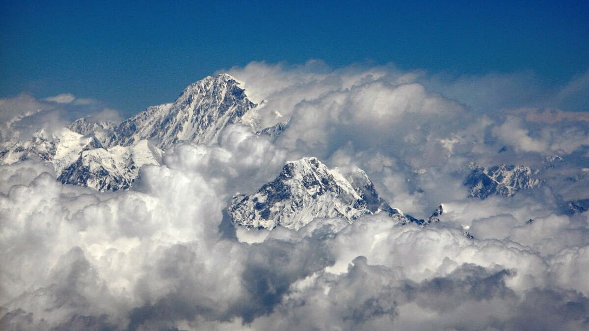
Mount Everest, the highest peak in the world.
Credit: Reuters Photo
New Delhi: Mount Everest, the world’s highest peak, is 15-50 mt taller because of a push from below, thanks to a nearby river.
The uplift is primarily triggered by a river network that has been eroding the lower parts of the mountain over the past 89,000 years creating a gorge.
As the mountain loses its mass, it receives an upward push from the mantle because of which it grows more than usual, finds a new study.
At 8,849 metres high, Mt Everest is the tallest mountain on Earth, and rises about 250 metres above the next tallest peak in the Himalayas.
It is considered anomalously high for the mountain range, as the next three tallest peaks – K2, Kangchenjunga and Lhotse – all only differ by about 120 metres from each other.
A significant portion of such an anomaly can now be explained by an uplifting force caused by pressure from below Earth’s crust.
Around 75 km north of Mt Everest lies the east-west flowing Arun river, which long ago had merged with the north-south flowing Koshi river.
Joining of the two rivers led to the formation of a substantial gorge as the water took away a large volume of rocks and soils.
The loss of such a large volume landmass made the mountain lighter and it sprung upwards by as much as 2 millimetres a year and has already increased its height by between 15 and 50 metres over the past 89,000 years.
“Mount Everest is a remarkable mountain of myth and legend and it’s still growing. Our research shows that as the nearby river system cuts deeper, the loss of material is causing the mountain to spring further upwards,” Adam Smith, a co-author of the paper from the University College, London said in a statement.
This is due to an effect called isostatic rebound, where a section of the Earth’s crust that loses mass flexes and “floats” upwards because the intense pressure of the liquid mantle below is greater than the downward force of gravity after the loss of mass.
It’s a gradual process, usually only a few millimetres a year, but over geological time frames can make a significant difference to the Earth's surface.
"An interesting river system exists in the Everest region. The upstream Arun river flows east at high altitude with a flat valley. It then abruptly turns south as the Kosi river, dropping in elevation and becoming steeper. This unique topography, indicative of an unsteady state, likely relates to Everest's extreme height,” said co-author Jin-Gen Dai of the China University of Geosciences.
The uplift is not limited to MT Everest, and affects neighbouring peaks including Lhotse and Makalu, the world’s fourth and fifth highest peaks respectively.
The heights of these peaks are boosted by a similar amount as it does for Everest, though Makalu, located closest to the Arun river, would experience a slightly higher rate of uplift.
Lead author Xu Han of China University of Geosciences, who carried out the work while on a China Scholarship Council research visit to UCL, said: “The changing height of Mount Everest really highlights the dynamic nature of the Earth’s surface. The interaction between the erosion of the Arun river and the upward pressure of the Earth’s mantle gives Mount Everest a boost, pushing it up higher than it would otherwise be.”
The study has appeared in Nature Geoscience.