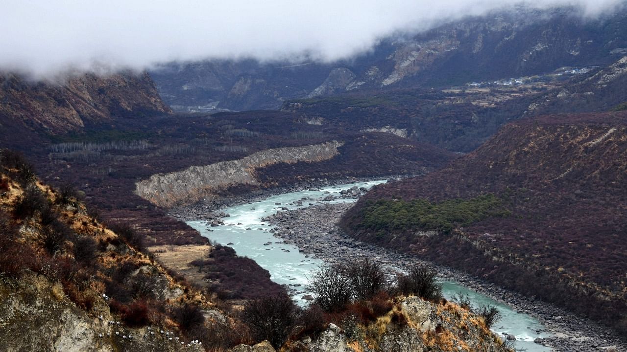
What makes the Himalayan-Tibetan plateau so unique? After decades of research, a team of Chinese scientists have answers to the question.
The results of the study, they believe, are sure to bring "seismic" change in their understanding of the earth's crust, enabling them to better explore and exploit the natural resources, and promising great strides to the fields of geophysics and tectonics.
Their discoveries can be summarised in four key points.
First, the Indian crust is experiencing northward subduction while its lower layers are varying in their thickness. Second, the subducting front of the Indian crust is in deep contact with the lower crust and the mantle suture of the Eurasian plate. Third, a crustal-scale vertical collision occurred between two regions of the plateau, the Tethyan Himalayas and the Lhasa terrane. Finally, the Eurasian plate is subducting in a southward direction under the Qilian Mountains, resulting in a northward advancement of the Qilian crust.
Also Read — Tibet tourism boom pressures historic sites
Of their findings, Professor Gao Rui of Sun Yat-sen University, the first author of the study, said, "What makes the Himalayan-Tibetan Plateau so unique? Our study has the answers to that question. It also makes an enormous contribution to our understanding of the construction of continental orogenic range-basin systems."
The team used deep seismic reflection profiling techniques to uncover the finer details of continental collision and solve a decades-long mystery. The technique involves sending artificially generated sound waves into the ground, where they meet different objects and structures, which bounce back a portion of the sound waves. These sound waves are then detected and recorded on the surface and processed to develop a visual of the underground structure.
Home to some of the highest mountains in the world, including the Mount Everest, the vast Himalayan-Tibetan plateau is often referred to as the "Roof of the World".
With an average elevation of 4,500 metres above sea level, the plateau towers over the rest of East and South Asia. The Himalayan-Tibetan plateau is a unique geological construction that has long been a source of fascination for scientists. While it is known that the plateau resulted from the Indian continental plate crashing into the Eurasian continental plate, an exact understanding of the subterranean architecture was missing, say researchers.
But not anymore now. In a culmination of decades of research, scientists have finally profiled the deep behaviours and structure of intercontinental collisions.
The concept behind the orogeny, or the formation of this mountainous region, is well understood. The portion of the earth's crust under the ocean is swallowed by the deeper layers of the earth in a process called subduction — pulling two continental plates together and making one fold over the other — leading to the formation of mountains.
The Himalayan-Tibetan plateau is one of the most representative instances of intercontinental collision. Geophysicists have long believed that it is the ideal playground to study and untangle continental convergence, and thus, plate tectonics.
To that effect, scholars have been conducting seismic tests in the area since the 1950s.
Now, after decades of research, the Chinese scholars have published a study in Earth Science Frontiers, describing the structure of the crust under the Himalayan-Tibetan plateau, as well as the deep behaviours underlying the ongoing India-Eurasia collision.
"The Himalayan-Tibetan plateau can be considered a sort of Rosetta Stone to unlock the mysteries of continent-continent collision. The area can be regarded as the natural laboratory to investigate the phenomenon," said Gao.
The enormous size of the Tibetan plateau, its height, and its inclement weather conditions are all factors that have contributed to the scale and difficulty of this daunting task.
The Chinese scholars studied the Tibetan plateau using deep seismic reflection profiling for over 20 years, overcoming several technical difficulties and bottlenecks to access the lowermost layer of the crust and the Mohorovicic discontinuity, or Moho.
The Moho describes the boundary between the crust and the next layer of the earth, the mantle. The research team systematically documented the Tibetan plateau's ongoing continental deformation and subduction processes in all directions as well as the plateau's hinterland.
Watch the latest DH Videos here: