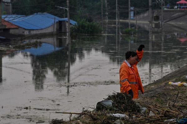
China on Sunday raised the flood alert level in the Huai River region in the country's east to Level II from Level III, the second-highest on its four-tier scale, after days of torrential downpours and amid expectations of further heavy rainfall.
Ten reservoirs on the Huai River have seen water levels exceeding warning levels by as much as 6.85 metres, according to the Huaihe River Commission of China's Ministry of Water Resources.
The 1,000km (620 miles) Huai River flows through major agriculture and manufacturing hubs in Henan, Anhui and Jiangsu provinces.
Torrential rains have battered China for two weeks from Chongqing in the southwest to Shanghai on the east coast.
Several regions alongside the Yangtze River, including Wuhan city in Hubei province and in Jiangxi province, where China's largest freshwater lake is located, declared the highest flood alerts.
"Floods are occurring at the same time at the Yantze River, Huai River and Tai Lake...The flood prevention situation is very severe," the water resources ministry said. Water levels in the region were likely to exceed the maximum level that reservoirs can withstand, the ministry added.
At Lake Tai, on the border of the wealthy coastal provinces of Jiangsu and Zhejiang, water levels have already risen above the safety guaranteed level, according to government data.
The summer rainy season brings floods to China almost every year but the impact of the disruption they cause is being felt further afield as Chinese goods become more important in global supply chains for various items, including personal protective equipment, vital in the fight against the novel coronavirus.