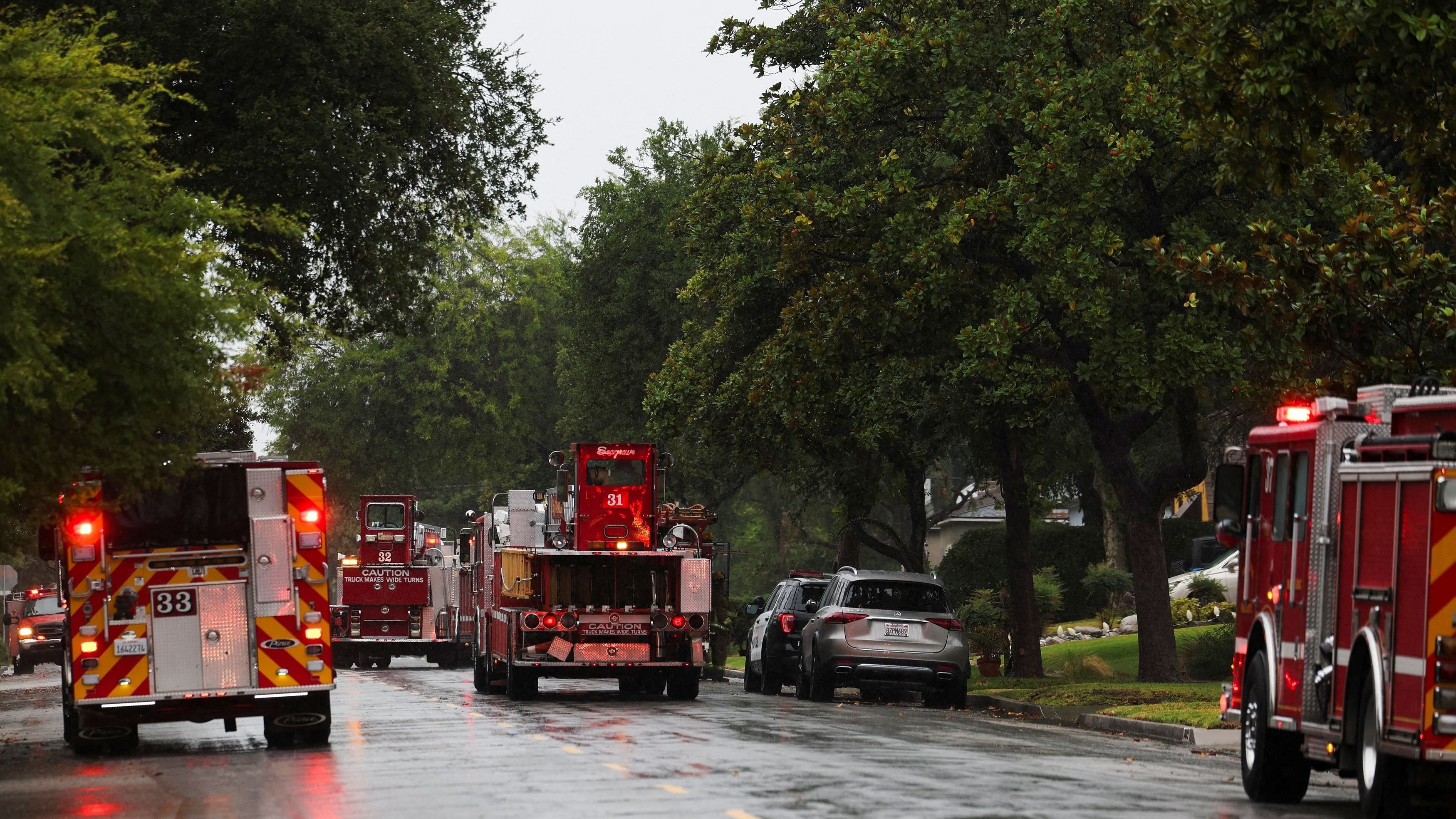
Pasadena Fire Department vehicles attend to a fire call following earthquake in California.
Credit: Reuters Photo
By John Gittelsohn
A 4.6 magnitude earthquake rattled the Los Angeles area, adding to the woes of residents who dealt with the threat of flooding and landslides from a powerful storm that drenched the area earlier in the week.
The quake that struck on Friday afternoon was located about 8 miles northwest of Malibu, California, according to the United States Geological Survey. It was measured at a depth of about 9.5 miles.
“It was a big jolt. It was quick,” Malibu Fire Department Captain Will Welser said by phone from a station on Pacific Coast Highway near the reported epicenter. The USGS increased the rating intensity from a preliminary 4.5 magnitude.
There were no calls about injuries, and the only damage reported was a transformer explosion on a telephone pole on the highway, Welser said.
The Los Angeles Fire Department said in a post on X that the quake was “widely felt” across the region and that residents should be prepared for potential aftershocks.
The earthquake came days after torrential rains inundated Malibu and other parts of Southern California, causing flooding and mudslides.
A 5.1 magnitude earthquake rippled across Southern California in August at the same time the region was being drenched by a tropical storm, an incident dubbed a “hurriquake” on social media. However, the timing of rainstorms and quakes were coincidences, according to John Bwarie, of the Lucy Jones Center for Science and Society.
“Weather on surface has no impact on the geology of the earth with regard to earthquakes,” Bwarie said in an interview.