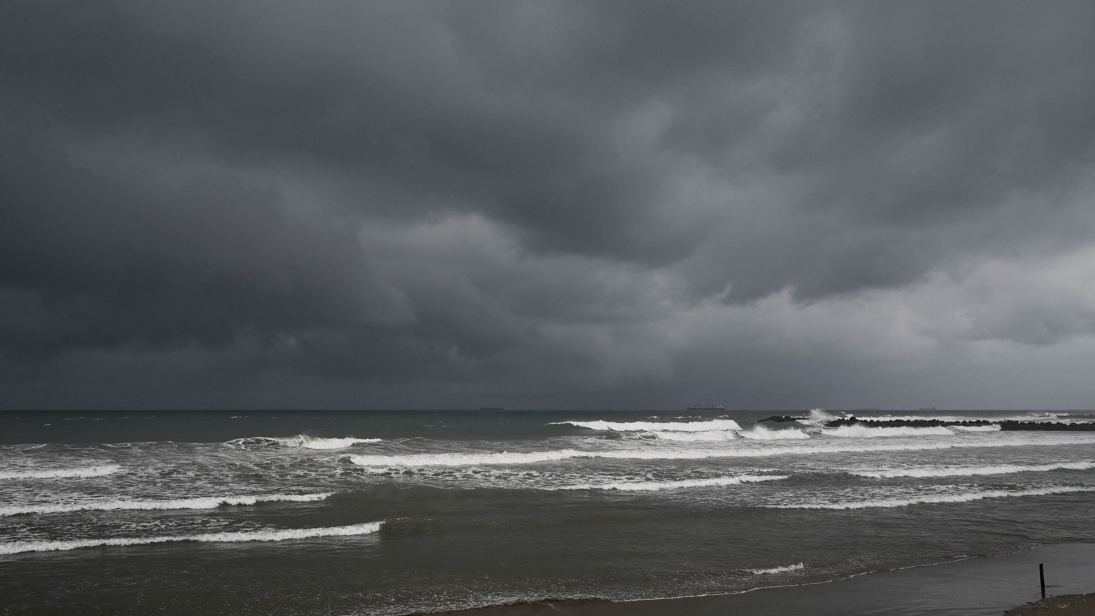
Representative image showing Storm clouds
Credit: Reuters Photo
Tropical Storm Debby formed just off the Gulf Coast of the United States on Saturday afternoon, the fourth named storm of the 2024 Atlantic hurricane season, and was expected to make landfall in Florida as a hurricane.
A hurricane warning was issued for parts of Florida and tropical storm warnings were extended Saturday as the tropical depression became a tropical storm and moved over the southeastern Gulf of Mexico, threatening to bring heavy rain, gusty winds and the potential for flash flooding.
Tropical Storm Debby was roughly 70 miles northwest of Havana and 100 miles west-southwest of Key West, Florida, on Saturday afternoon, carrying maximum sustained winds of 40 mph.
The National Hurricane Center warned that heavy rains could cause areas of flash flooding across Florida and the Southeast through Wednesday.
Florida prepares for potential damage.
On Saturday afternoon, the center at the National Weather Service issued a hurricane warning, meaning that hurricane conditions were expected by late Sunday, for the Florida Gulf Coast, from the Suwannee River to the Ochlockonee River. A hurricane watch was issued for a west-central portion of the Florida coast, from Ochlockonee River to Indian Pass, and for the Florida coast east of the Suwannee River to Yankeetown.
A tropical storm warning, meaning that tropical storm conditions were expected within 36 hours, was issued for the Florida Keys from west of the Seven Mile Bridge, including the Dry Tortugas, and along the western coast from south of Yankeetown to East Cape Sable in Florida.
The service also warned of the possibility of life-threatening storm surge for Tampa Bay and other parts of the Florida coast. Citrus, Hernando, Levy, Pasco and Taylor counties issued evacuation orders for low-lying areas.
Gov. Ron DeSantis declared a state of emergency for 61 Florida counties Thursday, which gives emergency managers the authority to allocate resources to respond to the fallout of the extreme weather. The order covers Orange and Osceola counties, home to some of the state's biggest theme parks.
Travel could be disrupted for the throngs of summer visitors who go to Orlando and the theme parks at Universal Studios Florida and Walt Disney World.
Water tables in some areas are already saturated, the governor said, and the incoming rainfall "will cause significant river flooding that may last for several weeks." The storm could damage "major interstates and roadways, bridges, airports, schools, hospitals, power grids and other critical infrastructure," DeSantis said.
It was expected to cause widespread power outages from downed trees and power lines.
Gov. Brian Kemp of Georgia also declared a state of emergency in his state, which is directly in the storm's projected path.
Landfall is expected over Florida's Big Bend coast.
On Saturday evening, Jamie Rhome, a forecaster with the hurricane center, said that Debby was expected to make "landfall somewhere in the Florida Big Bend area as a hurricane."
Hurricane Idalia smashed into the same region last year with Category 3 winds and a storm surge of 7 to 12 feet along the coast, becoming the strongest storm to ever hit the area.
There is little that might keep the storm from intensifying as it moves over the eastern Gulf of Mexico. When a storm system's wind speeds reach 39 mph, it becomes a tropical storm and is given a name. At 74 mph, it becomes a hurricane.
Forecasters warned of damaging winds and a 2- to 7-foot storm surge. A storm surge warning was in effect from Aripeka, Florida, and up the coast to Indian Pass.
In the United States, 6 to 12 inches of rain, with maximum rainfall totals of up to 18 inches, could fall, raising the risk of flooding from Florida to the Carolinas.
Where the heavy rain falls depends on the path the storm takes and how long it sticks around. The forecast track becomes highly uncertain after landfall, forecasters said.
The steering currents will likely cause the storm to slow down as it drifts northeastward of northern Florida and Georgia. It could then accelerate northeastward along the East Coast or get left behind, meandering for days over or near the Georgia and South Carolina coast.
If it were to stray, the rainfall could become problematic for areas that get days of tropical rain. The storm's wind intensity along the East Coast highly depends on whether its center remains over land, where it would be weaker or over water, where it would have fuel to strengthen.