Cyclone Nivar highlights: Another low pressure in Bay of Bengal, likely to intensify into depression
Tamil Nadu to receive heavy rains next week
Tamil Nadu will receive heavy rains next week, thanks to a low pressure that is likely to form over south-east of the Bay of Bengal in the next 48 hours. The low pressure is likely to intensify into a depression by November 30, even as the state is yet to firm up the damages caused by Cyclone Nivar.
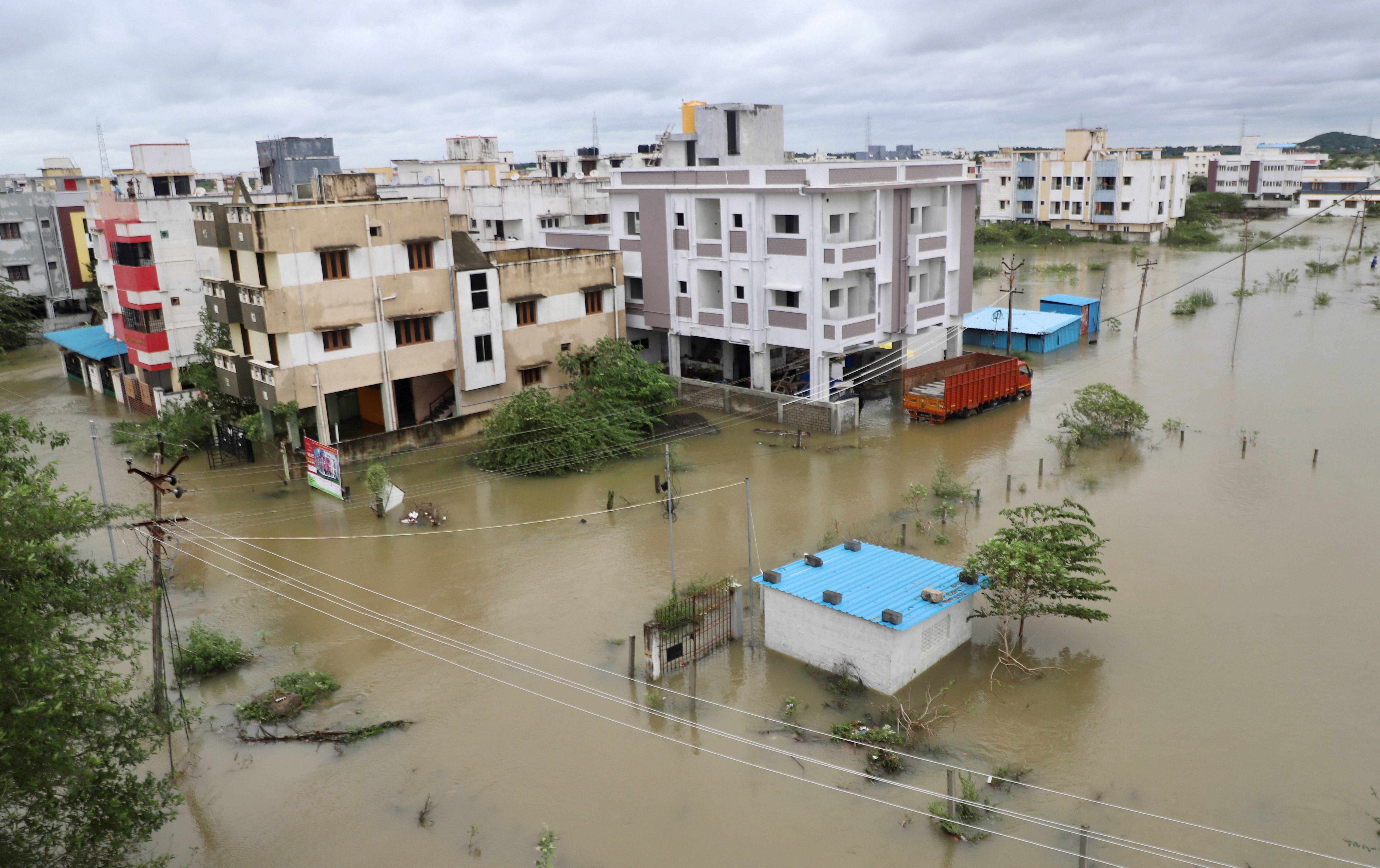
An aerial view of flooded Mudichur area following heavy rain triggered by Cyclone Nivar, in Chennai. Credit: PTI Photo

Nivar now a deep depression
Nivar weakens further into a deep depression and is moving northwards today South Rayalseema region in Andhra Pradesh. It is set to further weaken into a Depression in the next few hours and then into a low pressure area.
IMD forecasts rain and thunderstorms till November 30 for Tamil Nadu
IMD issues heavy rainfall warning to Tamil Nadu for November 26 and thunderstorm warning for 4 days till November 30. The department named Coastal Tamil Nadu, Karaikal and Pucherry areas the areas most likely to receive heavy rains and thunderstorms.
People stand in a queue to board the metro train during rain after the landfall of Cyclone Nivar, in Bengaluru. Credit: PTI Photo
